Distance from Reisterstown to Fort Washington
Distance between Reisterstown and Fort Washington is 86 kilometers (54 miles).
Driving distance from Reisterstown to Fort Washington is 113 kilometers (70 miles).
Distance Map Between Reisterstown and Fort Washington
Reisterstown, Annapolis, United States ↔ Fort Washington, Annapolis, United States = 54 miles = 86 km.


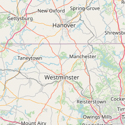


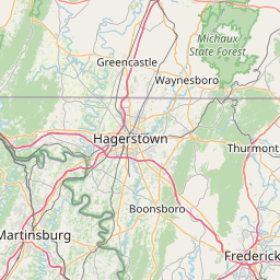


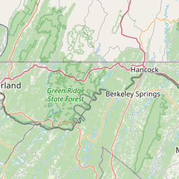


How far is it between Reisterstown and Fort Washington
Reisterstown is located in United States with (39.4696,-76.8294) coordinates and Fort Washington is located in United States with (38.7073,-77.023) coordinates. The calculated flying distance from Reisterstown to Fort Washington is equal to 54 miles which is equal to 86 km.
If you want to go by car, the driving distance between Reisterstown and Fort Washington is 112.63 km. If you ride your car with an average speed of 112 kilometers/hour (70 miles/h), travel time will be 01 hours 00 minutes. Please check the avg. speed travel time table on the right for various options.
Difference between fly and go by a car is 27 km.
| City/Place | Latitude and Longitude | GPS Coordinates |
|---|---|---|
| Reisterstown | 39.4696, -76.8294 | 39° 28´ 10.3800'' N 76° 49´ 45.9120'' W |
| Fort Washington | 38.7073, -77.023 | 38° 42´ 26.4240'' N 77° 1´ 22.9080'' W |
Estimated Travel Time Between Reisterstown and Fort Washington
| Average Speed | Travel Time |
|---|---|
| 30 mph (48 km/h) | 02 hours 20 minutes |
| 40 mph (64 km/h) | 01 hours 45 minutes |
| 50 mph (80 km/h) | 01 hours 24 minutes |
| 60 mph (97 km/h) | 01 hours 09 minutes |
| 70 mph (112 km/h) | 01 hours 00 minutes |
| 75 mph (120 km/h) | 00 hours 56 minutes |
Related Distances from Reisterstown
| Cities | Distance |
|---|---|
| Reisterstown to Columbia 3 | 36 km |
| Reisterstown to Owings Mills | 11 km |
| Reisterstown to Ellicott City | 36 km |
| Reisterstown to Glen Burnie | 43 km |
| Reisterstown to Hagerstown | 124 km |
Related Distances to Fort Washington
| Cities | Distance |
|---|---|
| Laurel to Fort Washington | 58 km |
| Oxon Hill to Fort Washington | 13 km |
| Waldorf to Fort Washington | 20 km |
| Owings Mills to Fort Washington | 106 km |
| Hagerstown to Fort Washington | 149 km |