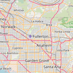
Distance from Rialto to Orange
Distance between Rialto and Orange is 57 kilometers (35 miles).
Driving distance from Rialto to Orange is 82 kilometers (51 miles).
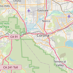
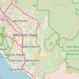
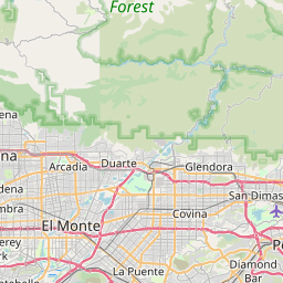
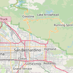
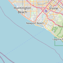
Distance Map Between Rialto and Orange
Rialto, Sacramento, United States ↔ Orange, Sacramento, United States = 35 miles = 57 km.


How far is it between Rialto and Orange
Rialto is located in United States with (34.1064,-117.3703) coordinates and Orange is located in United States with (33.7878,-117.8531) coordinates. The calculated flying distance from Rialto to Orange is equal to 35 miles which is equal to 57 km.
If you want to go by car, the driving distance between Rialto and Orange is 81.95 km. If you ride your car with an average speed of 112 kilometers/hour (70 miles/h), travel time will be 00 hours 43 minutes. Please check the avg. speed travel time table on the right for various options.
Difference between fly and go by a car is 25 km.
| City/Place | Latitude and Longitude | GPS Coordinates |
|---|---|---|
| Rialto | 34.1064, -117.3703 | 34° 6´ 23.0400'' N 117° 22´ 13.1520'' W |
| Orange | 33.7878, -117.8531 | 33° 47´ 16.0440'' N 117° 51´ 11.1960'' W |
Estimated Travel Time Between Rialto and Orange
| Average Speed | Travel Time |
|---|---|
| 30 mph (48 km/h) | 01 hours 42 minutes |
| 40 mph (64 km/h) | 01 hours 16 minutes |
| 50 mph (80 km/h) | 01 hours 01 minutes |
| 60 mph (97 km/h) | 00 hours 50 minutes |
| 70 mph (112 km/h) | 00 hours 43 minutes |
| 75 mph (120 km/h) | 00 hours 40 minutes |
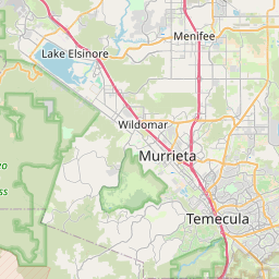
Related Distances from Rialto
| Cities | Distance |
|---|---|
| Rialto to Fontana | 8 km |
| Rialto to Los Angeles | 91 km |
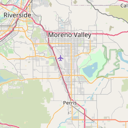
| Rialto to Moreno Valley | 37 km |
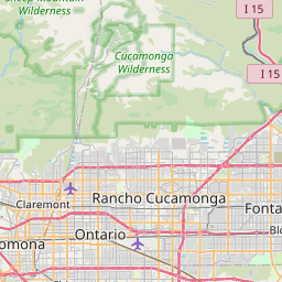
| Rialto to Rancho Cucamonga | 27 km |
| Rialto to Long Beach | 113 km |
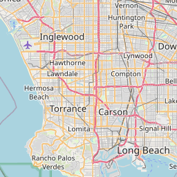
Related Distances to Orange
| Cities | Distance |
|---|---|
| Port Arthur to Orange 5 | 30 km |
| Pasadena 2 to Orange | 74 km |
| El Paso to Orange 5 | 1380 km |
| Temecula to Orange | 97 km |
| Santa Monica to Orange | 78 km |