Distance from Rijau to Cotonou
Distance between Rijau and Cotonou is 612 kilometers (380 miles).
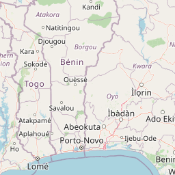
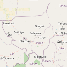
Distance Map Between Rijau and Cotonou
Rijau, Minna, Nigeria ↔ Cotonou, Benin = 380 miles = 612 km.


Leaflet | © OpenStreetMap
How far is it between Rijau and Cotonou
Rijau is located in Nigeria with (11.103,5.2507) coordinates and Cotonou is located in Benin with (6.3654,2.4183) coordinates. The calculated flying distance from Rijau to Cotonou is equal to 380 miles which is equal to 612 km.
| City/Place | Latitude and Longitude | GPS Coordinates |
|---|---|---|
| Rijau | 11.103, 5.2507 | 11° 6´ 10.7280'' N 5° 15´ 2.4480'' E |
| Cotonou | 6.3654, 2.4183 | 6° 21´ 55.2960'' N 2° 25´ 5.9880'' E |
Rijau, Minna, Nigeria
Related Distances from Rijau
| Cities | Distance |
|---|---|
| Rijau to Suleja | 412 km |
| Rijau to Mokwa | 259 km |
| Rijau to Tegina | 212 km |
| Rijau to Zungeru | 245 km |
Cotonou, Benin
Related Distances to Cotonou
| Cities | Distance |
|---|---|
| Lagos to Cotonou | 120 km |
| Badagry to Cotonou | 57 km |
| Benin City to Cotonou | 437 km |
| Ibadan to Cotonou | 251 km |
| Abuja to Cotonou | 867 km |