Distance from Rizal to Samal
Distance between Rizal and Samal is 121 kilometers (75 miles).
Driving distance from Rizal to Samal is 167 kilometers (104 miles).
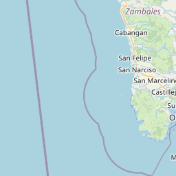
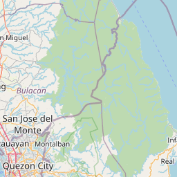
Distance Map Between Rizal and Samal
Rizal, , Philippines ↔ Samal, , Philippines = 75 miles = 121 km.


How far is it between Rizal and Samal
Rizal is located in Philippines with (15.7118,121.1061) coordinates and Samal is located in Philippines with (14.7678,120.5431) coordinates. The calculated flying distance from Rizal to Samal is equal to 75 miles which is equal to 121 km.
If you want to go by car, the driving distance between Rizal and Samal is 166.74 km. If you ride your car with an average speed of 112 kilometers/hour (70 miles/h), travel time will be 01 hours 29 minutes. Please check the avg. speed travel time table on the right for various options.
Difference between fly and go by a car is 46 km.
| City/Place | Latitude and Longitude | GPS Coordinates |
|---|---|---|
| Rizal | 15.7118, 121.1061 | 15° 42´ 42.4800'' N 121° 6´ 21.9600'' E |
| Samal | 14.7678, 120.5431 | 14° 46´ 4.0080'' N 120° 32´ 35.0160'' E |
Estimated Travel Time Between Rizal and Samal
| Average Speed | Travel Time |
|---|---|
| 30 mph (48 km/h) | 03 hours 28 minutes |
| 40 mph (64 km/h) | 02 hours 36 minutes |
| 50 mph (80 km/h) | 02 hours 05 minutes |
| 60 mph (97 km/h) | 01 hours 43 minutes |
| 70 mph (112 km/h) | 01 hours 29 minutes |
| 75 mph (120 km/h) | 01 hours 23 minutes |
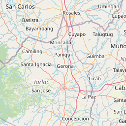
Related Distances from Rizal
| Cities | Distance |
|---|---|
| Rizal to Pasig City | 194 km |
| Rizal to Tarlac City | 76 km |
| Rizal to Subic | 181 km |
| Rizal to Talavera | 31 km |
| Rizal to San Jose Del Monte | 177 km |
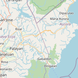
Related Distances to Samal
| Cities | Distance |
|---|---|
| Balanga to Samal 2 | 11 km |
| Orani to Samal 2 | 4 km |
| Limay to Samal 2 | 32 km |
| Orion to Samal 2 | 19 km |
| Mariveles to Samal 2 | 61 km |