Distance from Roanoke to Oakton
Distance between Roanoke and Oakton is 292 kilometers (182 miles).
Driving distance from Roanoke to Oakton is 361 kilometers (224 miles).
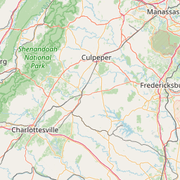
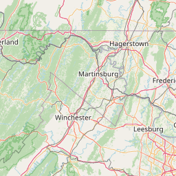
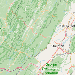
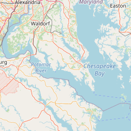
Distance Map Between Roanoke and Oakton
Roanoke, Richmond, United States ↔ Oakton, Richmond, United States = 182 miles = 292 km.


How far is it between Roanoke and Oakton
Roanoke is located in United States with (37.271,-79.9414) coordinates and Oakton is located in United States with (38.881,-77.3008) coordinates. The calculated flying distance from Roanoke to Oakton is equal to 182 miles which is equal to 292 km.
If you want to go by car, the driving distance between Roanoke and Oakton is 361.23 km. If you ride your car with an average speed of 112 kilometers/hour (70 miles/h), travel time will be 03 hours 13 minutes. Please check the avg. speed travel time table on the right for various options.
Difference between fly and go by a car is 69 km.
| City/Place | Latitude and Longitude | GPS Coordinates |
|---|---|---|
| Roanoke | 37.271, -79.9414 | 37° 16´ 15.4920'' N 79° 56´ 29.1480'' W |
| Oakton | 38.881, -77.3008 | 38° 52´ 51.4200'' N 77° 18´ 2.9520'' W |
Estimated Travel Time Between Roanoke and Oakton
| Average Speed | Travel Time |
|---|---|
| 30 mph (48 km/h) | 07 hours 31 minutes |
| 40 mph (64 km/h) | 05 hours 38 minutes |
| 50 mph (80 km/h) | 04 hours 30 minutes |
| 60 mph (97 km/h) | 03 hours 43 minutes |
| 70 mph (112 km/h) | 03 hours 13 minutes |
| 75 mph (120 km/h) | 03 hours 00 minutes |
Related Distances from Roanoke
| Cities | Distance |
|---|---|
| Roanoke to Norfolk | 452 km |
| Roanoke to Blacksburg | 67 km |
| Roanoke to Charlottesville | 195 km |
| Roanoke to Lynchburg | 91 km |
| Roanoke to Harrisonburg | 181 km |
Related Distances to Oakton
| Cities | Distance |
|---|---|
| Vienna 2 to Oakton | 5 km |
| Reston to Oakton | 14 km |
| Sterling to Oakton | 25 km |
| Virginia Beach to Oakton | 337 km |
| Tysons Corner to Oakton | 15 km |