Distance from Rock Hill to Greer
Distance between Rock Hill and Greer is 110 kilometers (68 miles).
Driving distance from Rock Hill to Greer is 133 kilometers (83 miles).
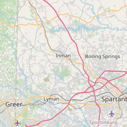
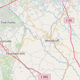
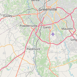
Distance Map Between Rock Hill and Greer
Rock Hill, Columbia, United States ↔ Greer, Columbia, United States = 68 miles = 110 km.

How far is it between Rock Hill and Greer
Rock Hill is located in United States with (34.9249,-81.0251) coordinates and Greer is located in United States with (34.9387,-82.2271) coordinates. The calculated flying distance from Rock Hill to Greer is equal to 68 miles which is equal to 110 km.
If you want to go by car, the driving distance between Rock Hill and Greer is 133.13 km. If you ride your car with an average speed of 112 kilometers/hour (70 miles/h), travel time will be 01 hours 11 minutes. Please check the avg. speed travel time table on the right for various options.
Difference between fly and go by a car is 23 km.
| City/Place | Latitude and Longitude | GPS Coordinates |
|---|---|---|
| Rock Hill | 34.9249, -81.0251 | 34° 55´ 29.5320'' N 81° 1´ 30.2880'' W |
| Greer | 34.9387, -82.2271 | 34° 56´ 19.4280'' N 82° 13´ 37.4160'' W |
Estimated Travel Time Between Rock Hill and Greer
| Average Speed | Travel Time |
|---|---|
| 30 mph (48 km/h) | 02 hours 46 minutes |
| 40 mph (64 km/h) | 02 hours 04 minutes |
| 50 mph (80 km/h) | 01 hours 39 minutes |
| 60 mph (97 km/h) | 01 hours 22 minutes |
| 70 mph (112 km/h) | 01 hours 11 minutes |
| 75 mph (120 km/h) | 01 hours 06 minutes |
Related Distances from Rock Hill
| Cities | Distance |
|---|---|
| Rock Hill to Myrtle Beach | 263 km |
| Rock Hill to Florence 3 | 156 km |
| Rock Hill to Charleston | 298 km |
| Rock Hill to Lexington 4 | 128 km |
| Rock Hill to Greenville 2 | 149 km |
Related Distances to Greer
| Cities | Distance |
|---|---|
| Spartanburg to Greer | 28 km |
| Simpsonville to Greer | 30 km |
| Myrtle Beach to Greer | 411 km |
| Rock Hill to Greer | 133 km |
| Taylors to Greer | 8 km |