Distance from Rockford to Elgin
Distance between Rockford and Elgin is 72 kilometers (45 miles).
Driving distance from Rockford to Elgin is 84 kilometers (52 miles).
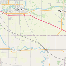
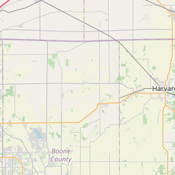
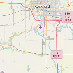
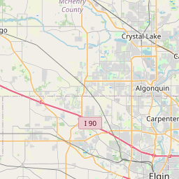
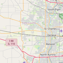
Distance Map Between Rockford and Elgin
Rockford, Springfield, United States ↔ Elgin, Springfield, United States = 45 miles = 72 km.


How far is it between Rockford and Elgin
Rockford is located in United States with (42.2711,-89.094) coordinates and Elgin is located in United States with (42.0373,-88.2812) coordinates. The calculated flying distance from Rockford to Elgin is equal to 45 miles which is equal to 72 km.
If you want to go by car, the driving distance between Rockford and Elgin is 84.24 km. If you ride your car with an average speed of 112 kilometers/hour (70 miles/h), travel time will be 00 hours 45 minutes. Please check the avg. speed travel time table on the right for various options.
Difference between fly and go by a car is 12 km.
| City/Place | Latitude and Longitude | GPS Coordinates |
|---|---|---|
| Rockford | 42.2711, -89.094 | 42° 16´ 16.0680'' N 89° 5´ 38.4000'' W |
| Elgin | 42.0373, -88.2812 | 42° 2´ 14.1000'' N 88° 16´ 52.2840'' W |
Estimated Travel Time Between Rockford and Elgin
| Average Speed | Travel Time |
|---|---|
| 30 mph (48 km/h) | 01 hours 45 minutes |
| 40 mph (64 km/h) | 01 hours 18 minutes |
| 50 mph (80 km/h) | 01 hours 03 minutes |
| 60 mph (97 km/h) | 00 hours 52 minutes |
| 70 mph (112 km/h) | 00 hours 45 minutes |
| 75 mph (120 km/h) | 00 hours 42 minutes |
Related Distances from Rockford
| Cities | Distance |
|---|---|
| Rockford to Chicago | 145 km |
| Rockford to Geneva | 98 km |
| Rockford to Pekin | 231 km |
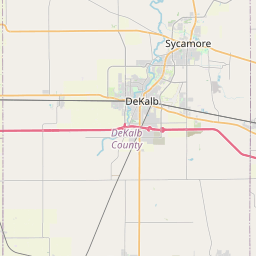
| Rockford to Dekalb | 70 km |
| Rockford to Elgin | 84 km |
Related Distances to Elgin
| Cities | Distance |
|---|---|
| Schaumburg to Elgin | 18 km |
| Plainfield 2 to Elgin | 51 km |
| Geneva to Elgin | 20 km |
| Huntley to Elgin | 24 km |
| Elk Grove Village to Elgin | 34 km |