Distance from Rome to Barrie
Distance between Rome and Barrie is 363 kilometers (225 miles).
Driving distance from Rome to Barrie is 540 kilometers (336 miles).
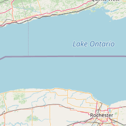
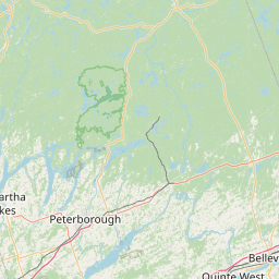
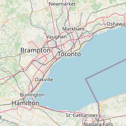
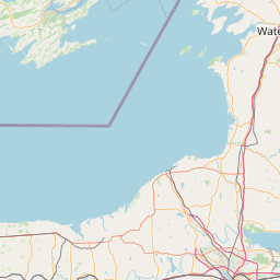
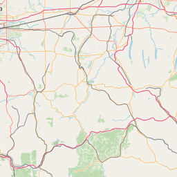
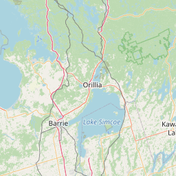
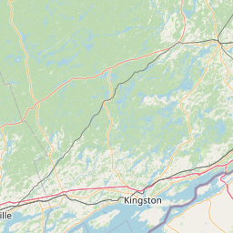
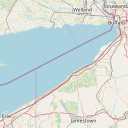
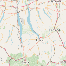
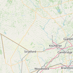
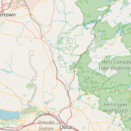
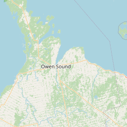
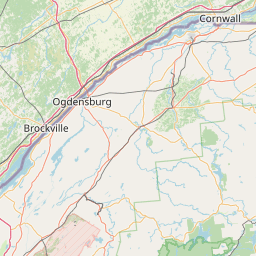
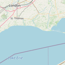
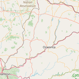
Distance Map Between Rome and Barrie
Rome, Albany, United States ↔ Barrie, Ontario, Canada = 225 miles = 363 km.


How far is it between Rome and Barrie
Rome is located in United States with (43.2129,-75.4557) coordinates and Barrie is located in Canada with (44.4001,-79.6663) coordinates. The calculated flying distance from Rome to Barrie is equal to 225 miles which is equal to 363 km.
If you want to go by car, the driving distance between Rome and Barrie is 539.96 km. If you ride your car with an average speed of 112 kilometers/hour (70 miles/h), travel time will be 04 hours 49 minutes. Please check the avg. speed travel time table on the right for various options.
Difference between fly and go by a car is 177 km.
| City/Place | Latitude and Longitude | GPS Coordinates |
|---|---|---|
| Rome | 43.2129, -75.4557 | 43° 12´ 46.2600'' N 75° 27´ 20.6280'' W |
| Barrie | 44.4001, -79.6663 | 44° 24´ 0.3960'' N 79° 39´ 58.8240'' W |
Estimated Travel Time Between Rome and Barrie
| Average Speed | Travel Time |
|---|---|
| 30 mph (48 km/h) | 11 hours 14 minutes |
| 40 mph (64 km/h) | 08 hours 26 minutes |
| 50 mph (80 km/h) | 06 hours 44 minutes |
| 60 mph (97 km/h) | 05 hours 33 minutes |
| 70 mph (112 km/h) | 04 hours 49 minutes |
| 75 mph (120 km/h) | 04 hours 29 minutes |
Related Distances from Rome
| Cities | Distance |
|---|---|
| Rome 3 to Toronto | 464 km |
| Rome 3 to Montreal | 404 km |
| Rome 3 to London 2 | 524 km |
| Rome 3 to Mississauga | 432 km |
| Rome 3 to Ottawa | 328 km |
Related Distances to Barrie
| Cities | Distance |
|---|---|
| Sudbury to Barrie | 947 km |
| New York City to Barrie | 876 km |
| Woodbridge to Barrie | 886 km |
| Midland 2 to Barrie | 566 km |
| New Brunswick to Barrie | 878 km |