Distance from Rome to Buffalo
Distance between Rome and Buffalo is 280 kilometers (174 miles).
Driving distance from Rome to Buffalo is 301 kilometers (187 miles).
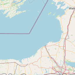
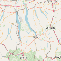
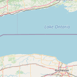
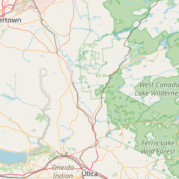
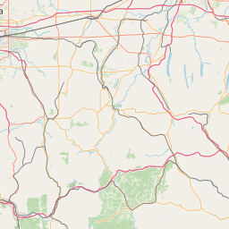
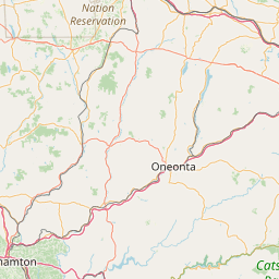
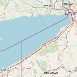
Distance Map Between Rome and Buffalo
Rome, Albany, United States ↔ Buffalo, Albany, United States = 174 miles = 280 km.

How far is it between Rome and Buffalo
Rome is located in United States with (43.2129,-75.4557) coordinates and Buffalo is located in United States with (42.8865,-78.8784) coordinates. The calculated flying distance from Rome to Buffalo is equal to 174 miles which is equal to 280 km.
If you want to go by car, the driving distance between Rome and Buffalo is 300.71 km. If you ride your car with an average speed of 112 kilometers/hour (70 miles/h), travel time will be 02 hours 41 minutes. Please check the avg. speed travel time table on the right for various options.
Difference between fly and go by a car is 21 km.
| City/Place | Latitude and Longitude | GPS Coordinates |
|---|---|---|
| Rome | 43.2129, -75.4557 | 43° 12´ 46.2600'' N 75° 27´ 20.6280'' W |
| Buffalo | 42.8865, -78.8784 | 42° 53´ 11.2200'' N 78° 52´ 42.1320'' W |
Estimated Travel Time Between Rome and Buffalo
| Average Speed | Travel Time |
|---|---|
| 30 mph (48 km/h) | 06 hours 15 minutes |
| 40 mph (64 km/h) | 04 hours 41 minutes |
| 50 mph (80 km/h) | 03 hours 45 minutes |
| 60 mph (97 km/h) | 03 hours 06 minutes |
| 70 mph (112 km/h) | 02 hours 41 minutes |
| 75 mph (120 km/h) | 02 hours 30 minutes |
Related Distances from Rome
| Cities | Distance |
|---|---|
| Rome 3 to New York City | 410 km |
| Rome 3 to Amsterdam 2 | 125 km |
| Rome 3 to North Babylon | 468 km |
| Rome 3 to Brooklyn | 425 km |
| Rome 3 to Poughkeepsie | 298 km |
Related Distances to Buffalo
| Cities | Distance |
|---|---|
| New York City to Buffalo | 637 km |
| Rochester to Buffalo | 118 km |
| Albany to Buffalo | 465 km |
| Syracuse to Buffalo | 242 km |
| Manhattan to Buffalo | 615 km |