Distance from Rome to Komarom
Distance between Rome and Komarom is 786 kilometers (489 miles).
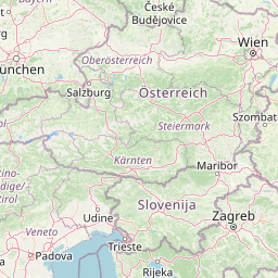
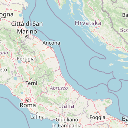
Distance Map Between Rome and Komarom
Rome, Italy ↔ Komarom, Tatabanya, Hungary = 489 miles = 786 km.


Leaflet | © OpenStreetMap
How far is it between Rome and Komárom
Rome is located in Italy with (41.8919,12.5113) coordinates and Komarom is located in Hungary with (47.7432,18.1191) coordinates. The calculated flying distance from Rome to Komarom is equal to 489 miles which is equal to 786 km.
| City/Place | Latitude and Longitude | GPS Coordinates |
|---|---|---|
| Rome | 41.8919, 12.5113 | 41° 53´ 30.9480'' N 12° 30´ 40.7880'' E |
| Komarom | 47.7432, 18.1191 | 47° 44´ 35.4480'' N 18° 7´ 8.8680'' E |
Rome, Italy
Related Distances from Rome
| Cities | Distance |
|---|---|
| Rome to Budapest | 1220 km |
| Rome to Kaposvar | 1095 km |
| Rome to Pecs | 1150 km |
| Rome to Szeged | 1381 km |
| Rome to Miskolc | 1422 km |
Komarom, Tatabanya, Hungary
Related Distances to Komarom
| Cities | Distance |
|---|---|
| Esztergom to Komarom | 52 km |
| Tata to Komarom | 20 km |
| Oroszlany to Komarom | 43 km |