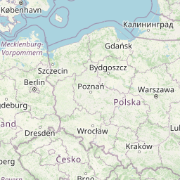
Distance from Rome to Letnany
Distance between Rome and Letnany is 929 kilometers (577 miles).
Distance Map Between Rome and Letnany
Rome, Italy ↔ Letnany, Prague, Czech Republic = 577 miles = 929 km.


Leaflet | © OpenStreetMap
How far is it between Rome and Letňany
Rome is located in Italy with (41.8919,12.5113) coordinates and Letnany is located in Czech Republic with (50.1333,14.5167) coordinates. The calculated flying distance from Rome to Letnany is equal to 577 miles which is equal to 929 km.
| City/Place | Latitude and Longitude | GPS Coordinates |
|---|---|---|
| Rome | 41.8919, 12.5113 | 41° 53´ 30.9480'' N 12° 30´ 40.7880'' E |
| Letnany | 50.1333, 14.5167 | 50° 7´ 59.9880'' N 14° 31´ 0.0120'' E |
Rome, Italy
Related Distances from Rome
| Cities | Distance |
|---|---|
| Rome to Prague | 1301 km |
| Rome to Brno | 1244 km |
| Rome to Ostrava | 1418 km |
| Rome to Karlovy Vary | 1238 km |
| Rome to Zlin | 1336 km |
Letnany, Prague, Czech Republic
Related Distances to Letnany
| Cities | Distance |
|---|---|
| Cerny Most to Letnany | 9 km |
| Branik to Letnany | 22 km |
| Prosek to Letnany | 3 km |
| Modrany to Letnany | 23 km |