Distance from Rome to Molins de Rei
Distance between Rome and Molins de Rei is 873 kilometers (542 miles).
Driving distance from Rome to Molins de Rei is 1372 kilometers (853 miles).
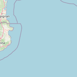
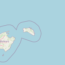
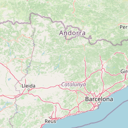
Distance Map Between Rome and Molins de Rei
Rome, Italy ↔ Molins de Rei, Barcelona, Spain = 542 miles = 873 km.


How far is it between Rome and Molins de Rei
Rome is located in Italy with (41.8919,12.5113) coordinates and Molins de Rei is located in Spain with (41.4167,2.0167) coordinates. The calculated flying distance from Rome to Molins de Rei is equal to 542 miles which is equal to 873 km.
If you want to go by car, the driving distance between Rome and Molins de Rei is 1371.98 km. If you ride your car with an average speed of 112 kilometers/hour (70 miles/h), travel time will be 12 hours 14 minutes. Please check the avg. speed travel time table on the right for various options.
Difference between fly and go by a car is 499 km.
| City/Place | Latitude and Longitude | GPS Coordinates |
|---|---|---|
| Rome | 41.8919, 12.5113 | 41° 53´ 30.9480'' N 12° 30´ 40.7880'' E |
| Molins de Rei | 41.4167, 2.0167 | 41° 25´ 0.0120'' N 2° 1´ 0.0120'' E |
Estimated Travel Time Between Rome and Molins de Rei
| Average Speed | Travel Time |
|---|---|
| 30 mph (48 km/h) | 28 hours 34 minutes |
| 40 mph (64 km/h) | 21 hours 26 minutes |
| 50 mph (80 km/h) | 17 hours 08 minutes |
| 60 mph (97 km/h) | 14 hours 08 minutes |
| 70 mph (112 km/h) | 12 hours 14 minutes |
| 75 mph (120 km/h) | 11 hours 25 minutes |
Related Distances from Rome
| Cities | Distance |
|---|---|
| Rome to Adra | 2210 km |
| Rome to Aguilas | 2039 km |
| Rome to Alaquas | 1716 km |
| Rome to Albacete | 1867 km |
| Rome to Albal | 1723 km |
| Rome to Alboraya | 1702 km |
| Rome to Alcala De Guadaira | 2349 km |
| Rome to Alcala De Henares | 1925 km |
| Rome to Alcala La Real | 2224 km |
| Rome to Alcaniz | 1584 km |
Related Distances to Molins de Rei
| Cities | Distance |
|---|---|
| Milano to Molins De Rei | 987 km |
| Rome to Molins De Rei | 1372 km |