Distance from Rome to Pastavy
Distance between Rome and Pastavy is 1802 kilometers (1120 miles).
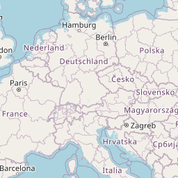
Distance Map Between Rome and Pastavy
Rome, Italy ↔ Pastavy, Vitebsk, Belarus = 1120 miles = 1802 km.


Leaflet | © OpenStreetMap
How far is it between Rome and Pastavy
Rome is located in Italy with (41.8919,12.5113) coordinates and Pastavy is located in Belarus with (55.1168,26.8326) coordinates. The calculated flying distance from Rome to Pastavy is equal to 1120 miles which is equal to 1802 km.
| City/Place | Latitude and Longitude | GPS Coordinates |
|---|---|---|
| Rome | 41.8919, 12.5113 | 41° 53´ 30.9480'' N 12° 30´ 40.7880'' E |
| Pastavy | 55.1168, 26.8326 | 55° 7´ 0.3360'' N 26° 49´ 57.4680'' E |
Rome, Italy
Related Distances from Rome
| Cities | Distance |
|---|---|
| Rome to Minsk | 2340 km |
| Rome to Dobrush | 2563 km |
| Rome to Masty | 2104 km |
| Rome to Vitebsk | 2613 km |
| Rome to Hrodna | 2063 km |
Pastavy, Vitebsk, Belarus
Related Distances to Pastavy
| Cities | Distance |
|---|---|
| Hlybokaye to Pastavy | 65 km |
| Lyepyel to Pastavy | 159 km |
| Navapolatsk to Pastavy | 148 km |
| Orsha to Pastavy | 288 km |