Distance from Rome to Pefki
Distance between Rome and Pefki is 1050 kilometers (653 miles).
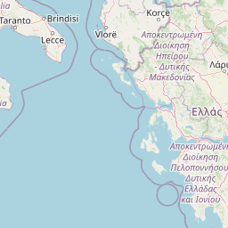
Distance Map Between Rome and Pefki
Rome, Italy ↔ Pefki, Athens, Greece = 653 miles = 1050 km.


Leaflet | © OpenStreetMap
How far is it between Rome and Péfki
Rome is located in Italy with (41.8919,12.5113) coordinates and Pefki is located in Greece with (38.0602,23.7926) coordinates. The calculated flying distance from Rome to Pefki is equal to 653 miles which is equal to 1050 km.
| City/Place | Latitude and Longitude | GPS Coordinates |
|---|---|---|
| Rome | 41.8919, 12.5113 | 41° 53´ 30.9480'' N 12° 30´ 40.7880'' E |
| Pefki | 38.0602, 23.7926 | 38° 3´ 36.6840'' N 23° 47´ 33.5040'' E |
Rome, Italy
Related Distances from Rome
| Cities | Distance |
|---|---|
| Rome to Athens | 1272 km |
| Rome to Thessaloniki | 1150 km |
| Rome to Tripoli 3 | 1301 km |
| Rome to Patra | 1079 km |
| Rome to Kavala | 1300 km |
Pefki, Athens, Greece
Related Distances to Pefki
| Cities | Distance |
|---|---|
| Agios Ioannis Rentis to Pefki | 20 km |
| Agioi Anargyroi to Pefki | 11 km |