Distance from Rome to Souma
Distance between Rome and Souma is 1020 kilometers (634 miles).
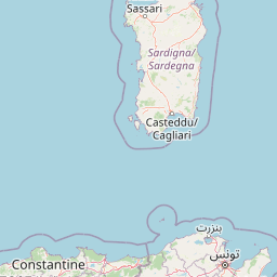
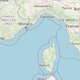
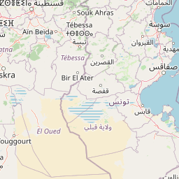
Distance Map Between Rome and Souma
Rome, Italy ↔ Souma, Blida, Algeria = 634 miles = 1020 km.


Leaflet | © OpenStreetMap
How far is it between Rome and Souma
Rome is located in Italy with (41.8919,12.5113) coordinates and Souma is located in Algeria with (36.5183,2.9053) coordinates. The calculated flying distance from Rome to Souma is equal to 634 miles which is equal to 1020 km.
| City/Place | Latitude and Longitude | GPS Coordinates |
|---|---|---|
| Rome | 41.8919, 12.5113 | 41° 53´ 30.9480'' N 12° 30´ 40.7880'' E |
| Souma | 36.5183, 2.9053 | 36° 31´ 5.9880'' N 2° 54´ 19.0080'' E |
Rome, Italy
Related Distances from Rome
| Cities | Distance |
|---|---|
| Rome to Constantine | 1702 km |
| Rome to Algiers | 2092 km |
| Rome to El Hed | 1952 km |
| Rome to Mila | 1761 km |
| Rome to Heliopolis | 1616 km |
Souma, Blida, Algeria
Related Distances to Souma
| Cities | Distance |
|---|---|
| Milano to Soumagne | 829 km |
| Napoli to Souma | 1906 km |
| Turin to Souma | 2414 km |
| Milano to Souma | 2522 km |
| Rome to Soumagne | 1438 km |