Distance from Rome to Stenjevec
Distance between Rome and Stenjevec is 512 kilometers (318 miles).
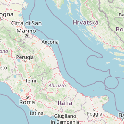
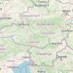
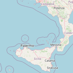
Distance Map Between Rome and Stenjevec
Rome, Italy ↔ Stenjevec, Zagreb, Croatia = 318 miles = 512 km.


Leaflet | © OpenStreetMap
How far is it between Rome and Stenjevec
Rome is located in Italy with (41.8919,12.5113) coordinates and Stenjevec is located in Croatia with (45.8085,15.8825) coordinates. The calculated flying distance from Rome to Stenjevec is equal to 318 miles which is equal to 512 km.
| City/Place | Latitude and Longitude | GPS Coordinates |
|---|---|---|
| Rome | 41.8919, 12.5113 | 41° 53´ 30.9480'' N 12° 30´ 40.7880'' E |
| Stenjevec | 45.8085, 15.8825 | 45° 48´ 30.4560'' N 15° 52´ 56.8200'' E |
Rome, Italy
Related Distances from Rome
| Cities | Distance |
|---|---|
| Rome to Split | 551 km |
| Rome to Zagreb | 887 km |
| Rome to Dubrovnik | 660 km |
| Rome to Rijeka | 745 km |
| Rome to Pula | 798 km |
Stenjevec, Zagreb, Croatia
Related Distances to Stenjevec
| Cities | Distance |
|---|---|
| Zagreb Centar to Stenjevec | 11 km |
| Sesvete to Stenjevec | 37 km |