Distance from Romulus to Okemos
Distance between Romulus and Okemos is 101 kilometers (63 miles).
Driving distance from Romulus to Okemos is 129 kilometers (80 miles).
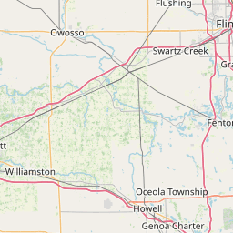
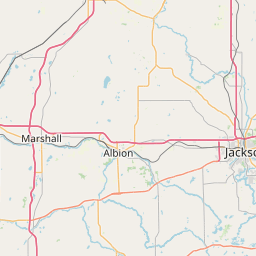
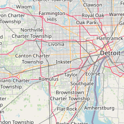
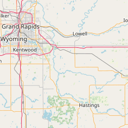
Distance Map Between Romulus and Okemos
Romulus, Lansing, United States ↔ Okemos, Lansing, United States = 63 miles = 101 km.


How far is it between Romulus and Okemos
Romulus is located in United States with (42.2223,-83.3966) coordinates and Okemos is located in United States with (42.7223,-84.4275) coordinates. The calculated flying distance from Romulus to Okemos is equal to 63 miles which is equal to 101 km.
If you want to go by car, the driving distance between Romulus and Okemos is 128.59 km. If you ride your car with an average speed of 112 kilometers/hour (70 miles/h), travel time will be 01 hours 08 minutes. Please check the avg. speed travel time table on the right for various options.
Difference between fly and go by a car is 28 km.
| City/Place | Latitude and Longitude | GPS Coordinates |
|---|---|---|
| Romulus | 42.2223, -83.3966 | 42° 13´ 20.1360'' N 83° 23´ 47.7600'' W |
| Okemos | 42.7223, -84.4275 | 42° 43´ 20.1360'' N 84° 25´ 38.8920'' W |
Estimated Travel Time Between Romulus and Okemos
| Average Speed | Travel Time |
|---|---|
| 30 mph (48 km/h) | 02 hours 40 minutes |
| 40 mph (64 km/h) | 02 hours 00 minutes |
| 50 mph (80 km/h) | 01 hours 36 minutes |
| 60 mph (97 km/h) | 01 hours 19 minutes |
| 70 mph (112 km/h) | 01 hours 08 minutes |
| 75 mph (120 km/h) | 01 hours 04 minutes |
Related Distances from Romulus
| Cities | Distance |
|---|---|
| Romulus to Adrian | 83 km |
| Romulus to Allen Park | 18 km |
| Romulus to Allendale | 270 km |
| Romulus to Ann Arbor | 37 km |
| Romulus to Auburn Hills | 83 km |
| Romulus to Battle Creek | 164 km |
| Romulus to Bay City | 194 km |
| Romulus to Birmingham 3 | 49 km |
| Romulus to Burton | 127 km |
| Romulus to Canton | 19 km |
Related Distances to Okemos
| Cities | Distance |
|---|---|
| Pontiac to Okemos | 138 km |
| Southfield to Okemos | 111 km |
| Wayne 3 to Okemos | 121 km |
| Waverly to Okemos | 19 km |
| Saginaw to Okemos | 105 km |
| Warren to Okemos | 130 km |
| Port Huron to Okemos | 182 km |
| Roseville 2 to Okemos | 137 km |
| Taylor to Okemos | 138 km |
| Redford to Okemos | 117 km |