Distance from Roosendaal to Schijndel
Distance between Roosendaal and Schijndel is 68 kilometers (42 miles).
Driving distance from Roosendaal to Schijndel is 91 kilometers (57 miles).
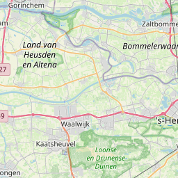
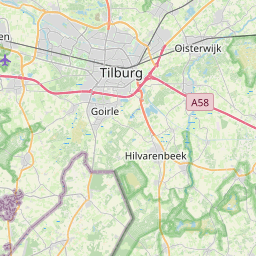
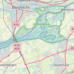
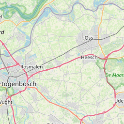
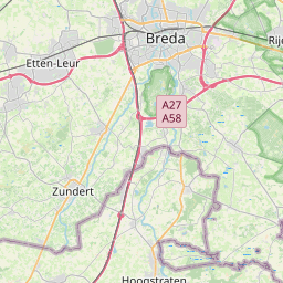
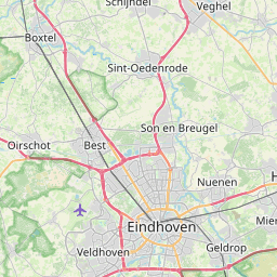
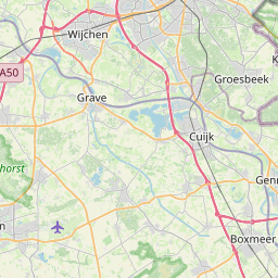
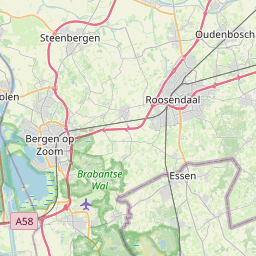
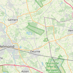
Distance Map Between Roosendaal and Schijndel
Roosendaal, 's-Hertogenbosch, Netherlands ↔ Schijndel, 's-Hertogenbosch, Netherlands = 42 miles = 68 km.

How far is it between Roosendaal and Schijndel
Roosendaal is located in Netherlands with (51.5308,4.4653) coordinates and Schijndel is located in Netherlands with (51.6225,5.4319) coordinates. The calculated flying distance from Roosendaal to Schijndel is equal to 42 miles which is equal to 68 km.
If you want to go by car, the driving distance between Roosendaal and Schijndel is 91.25 km. If you ride your car with an average speed of 112 kilometers/hour (70 miles/h), travel time will be 00 hours 48 minutes. Please check the avg. speed travel time table on the right for various options.
Difference between fly and go by a car is 23 km.
| City/Place | Latitude and Longitude | GPS Coordinates |
|---|---|---|
| Roosendaal | 51.5308, 4.4653 | 51° 31´ 50.9880'' N 4° 27´ 55.0080'' E |
| Schijndel | 51.6225, 5.4319 | 51° 37´ 21.0000'' N 5° 25´ 54.9840'' E |
Estimated Travel Time Between Roosendaal and Schijndel
| Average Speed | Travel Time |
|---|---|
| 30 mph (48 km/h) | 01 hours 54 minutes |
| 40 mph (64 km/h) | 01 hours 25 minutes |
| 50 mph (80 km/h) | 01 hours 08 minutes |
| 60 mph (97 km/h) | 00 hours 56 minutes |
| 70 mph (112 km/h) | 00 hours 48 minutes |
| 75 mph (120 km/h) | 00 hours 45 minutes |
Related Distances from Roosendaal
| Cities | Distance |
|---|---|
| Roosendaal to Tilburg | 59 km |
| Roosendaal to Zundert | 20 km |
| Roosendaal to Uden | 108 km |
| Roosendaal to Steenbergen | 25 km |
| Roosendaal to Waalwijk | 57 km |
Related Distances to Schijndel
| Cities | Distance |
|---|---|
| Eindhoven to Schijndel | 23 km |
| Eersel to Schijndel | 43 km |
| Best to Schijndel | 25 km |
| Cranendonck to Schijndel | 50 km |
| Roosendaal to Schijndel | 91 km |