Distance from Roswell to Pooler
Distance between Roswell and Pooler is 359 kilometers (223 miles).
Driving distance from Roswell to Pooler is 428 kilometers (266 miles).
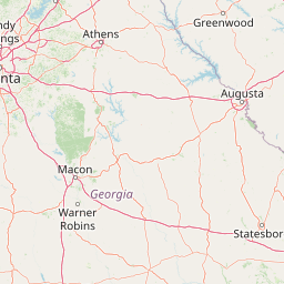
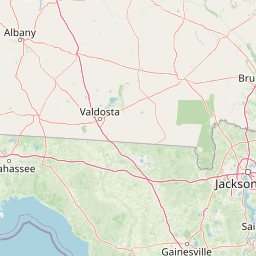
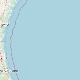
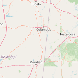
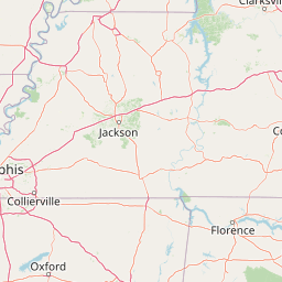
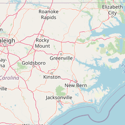
Distance Map Between Roswell and Pooler
Roswell, Atlanta, United States ↔ Pooler, Atlanta, United States = 223 miles = 359 km.


How far is it between Roswell and Pooler
Roswell is located in United States with (34.0232,-84.3616) coordinates and Pooler is located in United States with (32.1155,-81.2471) coordinates. The calculated flying distance from Roswell to Pooler is equal to 223 miles which is equal to 359 km.
If you want to go by car, the driving distance between Roswell and Pooler is 427.89 km. If you ride your car with an average speed of 112 kilometers/hour (70 miles/h), travel time will be 03 hours 49 minutes. Please check the avg. speed travel time table on the right for various options.
Difference between fly and go by a car is 69 km.
| City/Place | Latitude and Longitude | GPS Coordinates |
|---|---|---|
| Roswell | 34.0232, -84.3616 | 34° 1´ 23.3760'' N 84° 21´ 41.7240'' W |
| Pooler | 32.1155, -81.2471 | 32° 6´ 55.7280'' N 81° 14´ 49.4160'' W |
Estimated Travel Time Between Roswell and Pooler
| Average Speed | Travel Time |
|---|---|
| 30 mph (48 km/h) | 08 hours 54 minutes |
| 40 mph (64 km/h) | 06 hours 41 minutes |
| 50 mph (80 km/h) | 05 hours 20 minutes |
| 60 mph (97 km/h) | 04 hours 24 minutes |
| 70 mph (112 km/h) | 03 hours 49 minutes |
| 75 mph (120 km/h) | 03 hours 33 minutes |
Related Distances from Roswell
| Cities | Distance |
|---|---|
| Roswell to Alpharetta | 9 km |
| Roswell to Atlanta | 39 km |
| Roswell to Marietta | 21 km |
| Roswell to Decatur 3 | 44 km |
| Roswell to Acworth | 41 km |
Related Distances to Pooler
| Cities | Distance |
|---|---|
| Savannah to Pooler | 16 km |
| Statesboro to Pooler | 79 km |
| Tifton to Pooler | 266 km |
| Wilmington Island to Pooler | 37 km |
| Smyrna to Pooler | 416 km |