Distance from Rotherham to Salford
Distance between Rotherham and Salford is 62 kilometers (39 miles).
Driving distance from Rotherham to Salford is 72 kilometers (44 miles).
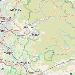
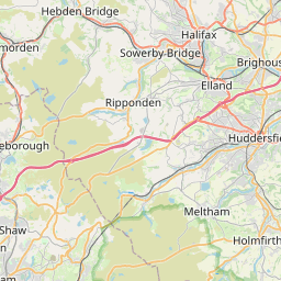
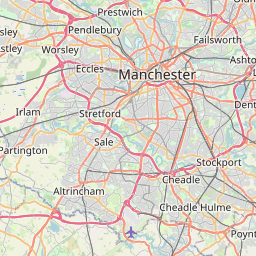
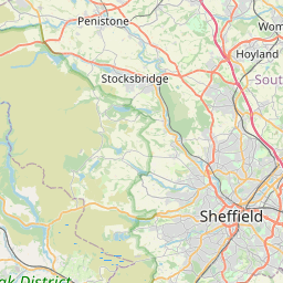
Distance Map Between Rotherham and Salford
Rotherham, London, United Kingdom ↔ Salford, London, United Kingdom = 39 miles = 62 km.
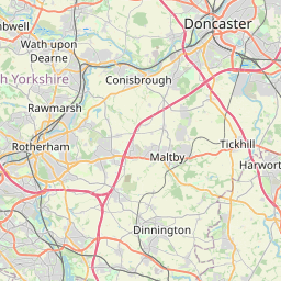
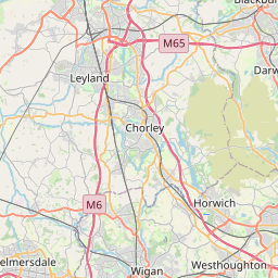

How far is it between Rotherham and Salford
Rotherham is located in United Kingdom with (53.4301,-1.3568) coordinates and Salford is located in United Kingdom with (53.4877,-2.2904) coordinates. The calculated flying distance from Rotherham to Salford is equal to 39 miles which is equal to 62 km.
If you want to go by car, the driving distance between Rotherham and Salford is 71.57 km. If you ride your car with an average speed of 112 kilometers/hour (70 miles/h), travel time will be 00 hours 38 minutes. Please check the avg. speed travel time table on the right for various options.
Difference between fly and go by a car is 10 km.
| City/Place | Latitude and Longitude | GPS Coordinates |
|---|---|---|
| Rotherham | 53.4301, -1.3568 | 53° 25´ 48.4320'' N 1° 21´ 24.4080'' W |
| Salford | 53.4877, -2.2904 | 53° 29´ 15.7560'' N 2° 17´ 25.5120'' W |
Estimated Travel Time Between Rotherham and Salford
| Average Speed | Travel Time |
|---|---|
| 30 mph (48 km/h) | 01 hours 29 minutes |
| 40 mph (64 km/h) | 01 hours 07 minutes |
| 50 mph (80 km/h) | 00 hours 53 minutes |
| 60 mph (97 km/h) | 00 hours 44 minutes |
| 70 mph (112 km/h) | 00 hours 38 minutes |
| 75 mph (120 km/h) | 00 hours 35 minutes |
Related Distances from Rotherham
| Cities | Distance |
|---|---|
| Rotherham to Sheffield | 15 km |
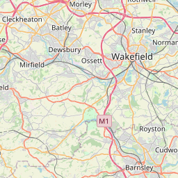
| Rotherham to Wakefield | 37 km |
| Rotherham to York | 94 km |
| Rotherham to Rugby | 134 km |
| Rotherham to Stoke On Trent | 123 km |
Related Distances to Salford
| Cities | Distance |
|---|---|
| Manchester to Salford | 5 km |
| Bolton to Salford | 18 km |
| City Of London to Salford | 351 km |
| Liverpool to Salford | 52 km |
| Leeds to Salford | 73 km |