Distance from Round Rock to Palestine
Distance between Round Rock and Palestine is 240 kilometers (149 miles).
Driving distance from Round Rock to Palestine is 260 kilometers (162 miles).
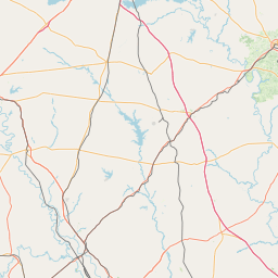
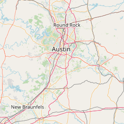
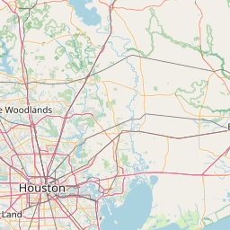
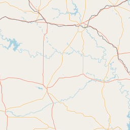
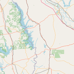
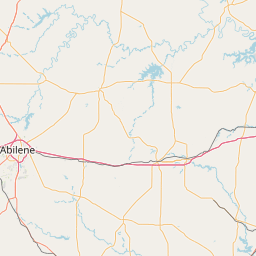
Distance Map Between Round Rock and Palestine
Round Rock, Austin, United States ↔ Palestine, Austin, United States = 149 miles = 240 km.


How far is it between Round Rock and Palestine
Round Rock is located in United States with (30.5083,-97.6789) coordinates and Palestine is located in United States with (31.7621,-95.6308) coordinates. The calculated flying distance from Round Rock to Palestine is equal to 149 miles which is equal to 240 km.
If you want to go by car, the driving distance between Round Rock and Palestine is 259.96 km. If you ride your car with an average speed of 112 kilometers/hour (70 miles/h), travel time will be 02 hours 19 minutes. Please check the avg. speed travel time table on the right for various options.
Difference between fly and go by a car is 20 km.
| City/Place | Latitude and Longitude | GPS Coordinates |
|---|---|---|
| Round Rock | 30.5083, -97.6789 | 30° 30´ 29.7360'' N 97° 40´ 44.0400'' W |
| Palestine | 31.7621, -95.6308 | 31° 45´ 43.6320'' N 95° 37´ 50.8440'' W |
Estimated Travel Time Between Round Rock and Palestine
| Average Speed | Travel Time |
|---|---|
| 30 mph (48 km/h) | 05 hours 24 minutes |
| 40 mph (64 km/h) | 04 hours 03 minutes |
| 50 mph (80 km/h) | 03 hours 14 minutes |
| 60 mph (97 km/h) | 02 hours 40 minutes |
| 70 mph (112 km/h) | 02 hours 19 minutes |
| 75 mph (120 km/h) | 02 hours 09 minutes |
Related Distances from Round Rock
| Cities | Distance |
|---|---|
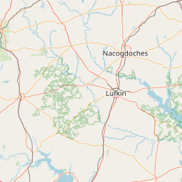
| Round Rock to Nacogdoches | 342 km |
| Round Rock to Houston | 270 km |
| Round Rock to Dallas | 286 km |
| Round Rock to Kyle | 63 km |
| Round Rock to Cedar Park | 19 km |
Related Distances to Palestine
| Cities | Distance |
|---|---|
| Tyler to Palestine | 76 km |
| Waco to Palestine | 160 km |
| Texarkana to Palestine | 280 km |
| Rockwall to Palestine | 172 km |
| San Antonio to Palestine | 410 km |