Distance from Rubizhne to Belgrade
Distance between Rubizhne and Belgrade is 1435 kilometers (892 miles).
Driving distance from Rubizhne to Belgrade is 2205 kilometers (1370 miles).
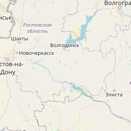
Distance Map Between Rubizhne and Belgrade
Rubizhne, Luhansk, Ukraine ↔ Belgrade, Serbia = 892 miles = 1435 km.


How far is it between Rubizhne and Belgrade
Rubizhne is located in Ukraine with (49.0123,38.3797) coordinates and Belgrade is located in Serbia with (44.804,20.4651) coordinates. The calculated flying distance from Rubizhne to Belgrade is equal to 892 miles which is equal to 1435 km.
If you want to go by car, the driving distance between Rubizhne and Belgrade is 2204.98 km. If you ride your car with an average speed of 112 kilometers/hour (70 miles/h), travel time will be 19 hours 41 minutes. Please check the avg. speed travel time table on the right for various options.
Difference between fly and go by a car is 770 km.
| City/Place | Latitude and Longitude | GPS Coordinates |
|---|---|---|
| Rubizhne | 49.0123, 38.3797 | 49° 0´ 44.2440'' N 38° 22´ 46.8120'' E |
| Belgrade | 44.804, 20.4651 | 44° 48´ 14.4360'' N 20° 27´ 54.4680'' E |
Estimated Travel Time Between Rubizhne and Belgrade
| Average Speed | Travel Time |
|---|---|
| 30 mph (48 km/h) | 45 hours 56 minutes |
| 40 mph (64 km/h) | 34 hours 27 minutes |
| 50 mph (80 km/h) | 27 hours 33 minutes |
| 60 mph (97 km/h) | 22 hours 43 minutes |
| 70 mph (112 km/h) | 19 hours 41 minutes |
| 75 mph (120 km/h) | 18 hours 22 minutes |
Related Distances to Belgrade
| Cities | Distance |
|---|---|
| Kiev to Belgrade | 1486 km |
| Bar 2 to Belgrade | 1231 km |
| Kharkiv to Belgrade | 1964 km |
| Debal Tseve to Belgrade | 2238 km |
| Ternopil to Belgrade | 1026 km |