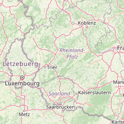
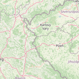
Distance from Saarbrucken to Prague
Distance between Saarbrucken and Prague is 544 kilometers (338 miles).
Driving distance from Saarbrucken to Prague is 642 kilometers (399 miles).
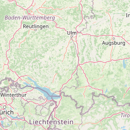
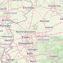
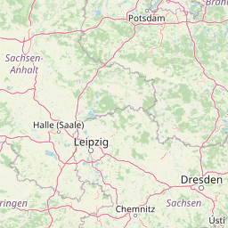
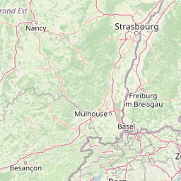
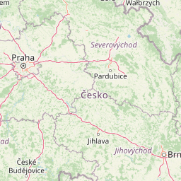
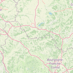
Distance Map Between Saarbrucken and Prague
Saarbrucken, Germany ↔ Prague, Czech Republic = 338 miles = 544 km.


How far is it between Saarbrücken and Prague
Saarbrucken is located in Germany with (49.2354,6.9817) coordinates and Prague is located in Czech Republic with (50.088,14.4208) coordinates. The calculated flying distance from Saarbrucken to Prague is equal to 338 miles which is equal to 544 km.
If you want to go by car, the driving distance between Saarbrucken and Prague is 641.91 km. If you ride your car with an average speed of 112 kilometers/hour (70 miles/h), travel time will be 05 hours 43 minutes. Please check the avg. speed travel time table on the right for various options.
Difference between fly and go by a car is 98 km.
| City/Place | Latitude and Longitude | GPS Coordinates |
|---|---|---|
| Saarbrucken | 49.2354, 6.9817 | 49° 14´ 7.4400'' N 6° 58´ 53.9400'' E |
| Prague | 50.088, 14.4208 | 50° 5´ 16.9440'' N 14° 25´ 14.7360'' E |
Estimated Travel Time Between Saarbrücken and Prague
| Average Speed | Travel Time |
|---|---|
| 30 mph (48 km/h) | 13 hours 22 minutes |
| 40 mph (64 km/h) | 10 hours 01 minutes |
| 50 mph (80 km/h) | 08 hours 01 minutes |
| 60 mph (97 km/h) | 06 hours 37 minutes |
| 70 mph (112 km/h) | 05 hours 43 minutes |
| 75 mph (120 km/h) | 05 hours 20 minutes |
Related Distances to Prague
| Cities | Distance |
|---|---|
| Berlin to Prague | 350 km |
| Dresden to Prague | 148 km |
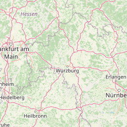
| Frankfurt Am Main to Prague | 510 km |
| Hamburg to Prague | 642 km |
| Leipzig to Prague | 255 km |