Distance from Saco to Toronto
Distance between Saco and Toronto is 723 kilometers (449 miles).
Driving distance from Saco to Toronto is 1035 kilometers (643 miles).
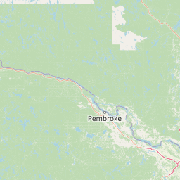
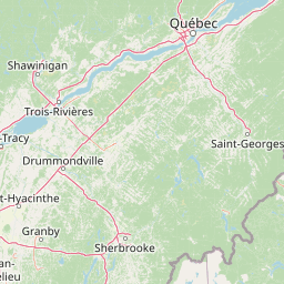
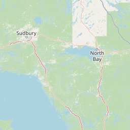
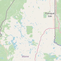
Distance Map Between Saco and Toronto
Saco, Augusta, United States ↔ Toronto, Ontario, Canada = 449 miles = 723 km.


How far is it between Saco and Toronto
Saco is located in United States with (43.5009,-70.4428) coordinates and Toronto is located in Canada with (43.7001,-79.4163) coordinates. The calculated flying distance from Saco to Toronto is equal to 449 miles which is equal to 723 km.
If you want to go by car, the driving distance between Saco and Toronto is 1035.14 km. If you ride your car with an average speed of 112 kilometers/hour (70 miles/h), travel time will be 09 hours 14 minutes. Please check the avg. speed travel time table on the right for various options.
Difference between fly and go by a car is 312 km.
| City/Place | Latitude and Longitude | GPS Coordinates |
|---|---|---|
| Saco | 43.5009, -70.4428 | 43° 30´ 3.3120'' N 70° 26´ 34.1880'' W |
| Toronto | 43.7001, -79.4163 | 43° 42´ 0.3960'' N 79° 24´ 58.6800'' W |
Estimated Travel Time Between Saco and Toronto
| Average Speed | Travel Time |
|---|---|
| 30 mph (48 km/h) | 21 hours 33 minutes |
| 40 mph (64 km/h) | 16 hours 10 minutes |
| 50 mph (80 km/h) | 12 hours 56 minutes |
| 60 mph (97 km/h) | 10 hours 40 minutes |
| 70 mph (112 km/h) | 09 hours 14 minutes |
| 75 mph (120 km/h) | 08 hours 37 minutes |
Related Distances from Saco
| Cities | Distance |
|---|---|
| Saco to North York | 1036 km |
| Saco to Quebec | 465 km |
| Saco to Toronto | 1035 km |
| Saco to Halifax | 914 km |
| Saco to Montreal | 444 km |
Related Distances to Toronto
| Cities | Distance |
|---|---|
| New York City to Toronto | 800 km |
| Washington D C to Toronto | 781 km |
| Buffalo to Toronto | 170 km |
| Boston to Toronto | 893 km |
| Detroit to Toronto | 370 km |