Distance from Saguenay to Magog
Distance between Saguenay and Magog is 360 kilometers (224 miles).
Driving distance from Saguenay to Magog is 460 kilometers (286 miles).
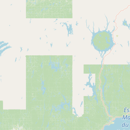
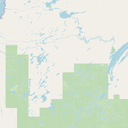
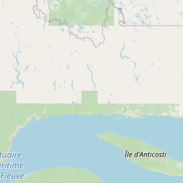
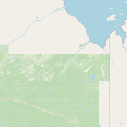
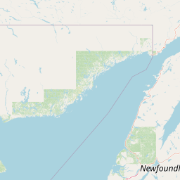
Distance Map Between Saguenay and Magog
Saguenay, Quebec, Canada ↔ Magog, Quebec, Canada = 224 miles = 360 km.


How far is it between Saguenay and Magog
Saguenay is located in Canada with (48.4168,-71.0657) coordinates and Magog is located in Canada with (45.2668,-72.1491) coordinates. The calculated flying distance from Saguenay to Magog is equal to 224 miles which is equal to 360 km.
If you want to go by car, the driving distance between Saguenay and Magog is 460.09 km. If you ride your car with an average speed of 112 kilometers/hour (70 miles/h), travel time will be 04 hours 06 minutes. Please check the avg. speed travel time table on the right for various options.
Difference between fly and go by a car is 100 km.
| City/Place | Latitude and Longitude | GPS Coordinates |
|---|---|---|
| Saguenay | 48.4168, -71.0657 | 48° 25´ 0.3000'' N 71° 3´ 56.6280'' W |
| Magog | 45.2668, -72.1491 | 45° 16´ 0.4080'' N 72° 8´ 56.7240'' W |
Estimated Travel Time Between Saguenay and Magog
| Average Speed | Travel Time |
|---|---|
| 30 mph (48 km/h) | 09 hours 35 minutes |
| 40 mph (64 km/h) | 07 hours 11 minutes |
| 50 mph (80 km/h) | 05 hours 45 minutes |
| 60 mph (97 km/h) | 04 hours 44 minutes |
| 70 mph (112 km/h) | 04 hours 06 minutes |
| 75 mph (120 km/h) | 03 hours 50 minutes |
Related Distances from Saguenay
| Cities | Distance |
|---|---|
| Saguenay to Montreal | 458 km |
| Saguenay to Alma | 60 km |
| Saguenay to Baie Comeau | 317 km |
| Saguenay to Gatineau | 641 km |
| Saguenay to Laval | 472 km |
Related Distances to Magog
| Cities | Distance |
|---|---|
| Montreal to Magog | 131 km |
| Sherbrooke to Magog | 36 km |
| Trois Rivieres to Magog | 179 km |
| Sorel Tracy to Magog | 156 km |
| Saint Hyacinthe to Magog | 102 km |