Distance from Salalah to Sur
Distance between Salalah and Sur is 839 kilometers (521 miles).
Driving distance from Salalah to Sur is 1036 kilometers (644 miles).
Distance Map Between Salalah and Sur
Salalah, Oman ↔ Sur, Oman = 521 miles = 839 km.
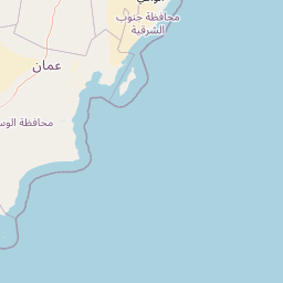
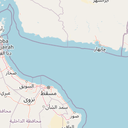
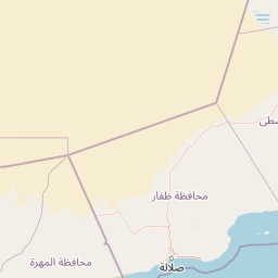


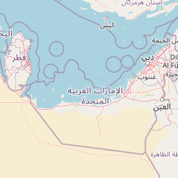


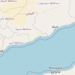


Leaflet | © OpenStreetMap
How far is it between Şalālah and Şūr
Salalah is located in Oman with (17.0151,54.0924) coordinates and Sur is located in Oman with (22.5667,59.5289) coordinates. The calculated flying distance from Salalah to Sur is equal to 521 miles which is equal to 839 km.
If you want to go by car, the driving distance between Salalah and Sur is 1036.32 km. If you ride your car with an average speed of 112 kilometers/hour (70 miles/h), travel time will be 09 hours 15 minutes. Please check the avg. speed travel time table on the right for various options.
Difference between fly and go by a car is 197 km.
| City/Place | Latitude and Longitude | GPS Coordinates |
|---|---|---|
| Salalah | 17.0151, 54.0924 | 17° 0´ 54.1800'' N 54° 5´ 32.5320'' E |
| Sur | 22.5667, 59.5289 | 22° 34´ 0.0120'' N 59° 31´ 44.0040'' E |
Estimated Travel Time Between Şalālah and Şūr
| Average Speed | Travel Time |
|---|---|
| 30 mph (48 km/h) | 21 hours 35 minutes |
| 40 mph (64 km/h) | 16 hours 11 minutes |
| 50 mph (80 km/h) | 12 hours 57 minutes |
| 60 mph (97 km/h) | 10 hours 41 minutes |
| 70 mph (112 km/h) | 09 hours 15 minutes |
| 75 mph (120 km/h) | 08 hours 38 minutes |
Salalah, Oman
Related Distances from Salalah
| Cities | Distance |
|---|---|
| Salalah to Muscat | 1037 km |
| Salalah to Al Sohar | 1189 km |
| Salalah to Sur | 1036 km |
| Salalah to Nizwa | 882 km |
| Salalah to Khasab | 1402 km |
Sur, Oman
Related Distances to Sur
| Cities | Distance |
|---|---|
| Muscat to Sur | 209 km |
| Al Sohar to Sur | 415 km |
| Ibra to Sur | 164 km |
| Nizwa to Sur | 360 km |
| Salalah to Sur | 1036 km |