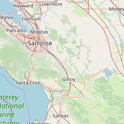
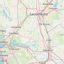
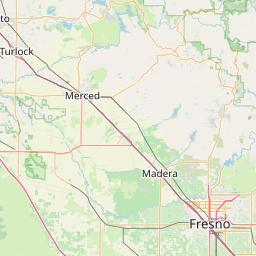
Distance from Salinas to Ceres
Distance between Salinas and Ceres is 119 kilometers (74 miles).
Driving distance from Salinas to Ceres is 176 kilometers (109 miles).
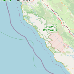
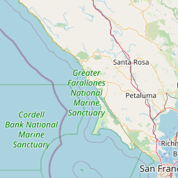
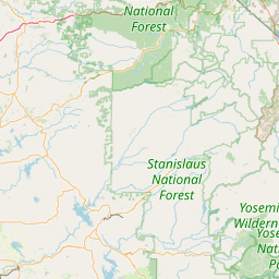
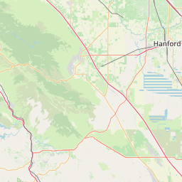
Distance Map Between Salinas and Ceres
Salinas, Sacramento, United States ↔ Ceres, Sacramento, United States = 74 miles = 119 km.


How far is it between Salinas and Ceres
Salinas is located in United States with (36.6777,-121.6555) coordinates and Ceres is located in United States with (37.5949,-120.9577) coordinates. The calculated flying distance from Salinas to Ceres is equal to 74 miles which is equal to 119 km.
If you want to go by car, the driving distance between Salinas and Ceres is 176.16 km. If you ride your car with an average speed of 112 kilometers/hour (70 miles/h), travel time will be 01 hours 34 minutes. Please check the avg. speed travel time table on the right for various options.
Difference between fly and go by a car is 57 km.
| City/Place | Latitude and Longitude | GPS Coordinates |
|---|---|---|
| Salinas | 36.6777, -121.6555 | 36° 40´ 39.8640'' N 121° 39´ 19.8000'' W |
| Ceres | 37.5949, -120.9577 | 37° 35´ 41.7480'' N 120° 57´ 27.7560'' W |
Estimated Travel Time Between Salinas and Ceres
| Average Speed | Travel Time |
|---|---|
| 30 mph (48 km/h) | 03 hours 40 minutes |
| 40 mph (64 km/h) | 02 hours 45 minutes |
| 50 mph (80 km/h) | 02 hours 12 minutes |
| 60 mph (97 km/h) | 01 hours 48 minutes |
| 70 mph (112 km/h) | 01 hours 34 minutes |
| 75 mph (120 km/h) | 01 hours 28 minutes |
Related Distances from Salinas
| Cities | Distance |
|---|---|
| Salinas to Hollister | 45 km |
| Salinas to Los Angeles | 490 km |
| Salinas to Fresno | 230 km |
| Salinas to Gilroy | 47 km |
| Salinas to Monterey | 30 km |
Related Distances to Ceres
| Cities | Distance |
|---|---|
| Stockton to Ceres | 57 km |
| Fresno to Ceres | 148 km |
| Tracy to Ceres | 54 km |
| Modesto to Ceres | 8 km |
| Elk Grove to Ceres | 105 km |