Distance from Salor to Zafar
Distance between Salor and Zafar is 59 kilometers (37 miles).
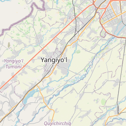
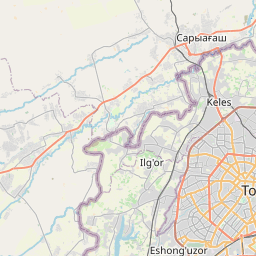
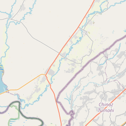
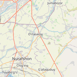
Distance Map Between Salor and Zafar
Salor, , Uzbekistan ↔ Zafar, , Uzbekistan = 37 miles = 59 km.
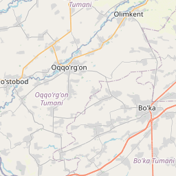
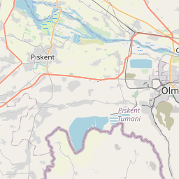
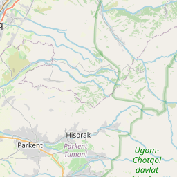

Leaflet | © OpenStreetMap
How far is it between Salor and Zafar
Salor is located in Uzbekistan with (41.3722,69.3817) coordinates and Zafar is located in Uzbekistan with (40.9833,68.9) coordinates. The calculated flying distance from Salor to Zafar is equal to 37 miles which is equal to 59 km.
| City/Place | Latitude and Longitude | GPS Coordinates |
|---|---|---|
| Salor | 41.3722, 69.3817 | 41° 22´ 19.9920'' N 69° 22´ 54.0120'' E |
| Zafar | 40.9833, 68.9 | 40° 58´ 59.9880'' N 68° 54´ 0.0000'' E |
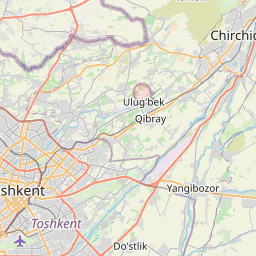
Salor, , Uzbekistan
Related Distances from Salor
| Cities | Distance |
|---|---|
| Salor to Yangiobod | 119 km |
| Salor to Yangiyul | 49 km |
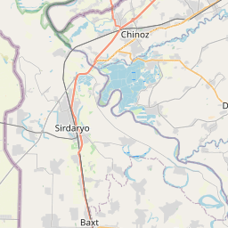
Zafar, , Uzbekistan
Related Distances to Zafar
| Cities | Distance |
|---|---|
| Bekobod to Zafar | 126 km |
| Tuytepa to Zafar | 74 km |
| Angren to Zafar | 145 km |
| Qibray to Zafar | 70 km |
| Iskandar to Zafar | 106 km |