Distance from Samara to Kostanay
Distance between Samara and Kostanay is 896 kilometers (557 miles).
Driving distance from Samara to Kostanay is 1117 kilometers (694 miles).
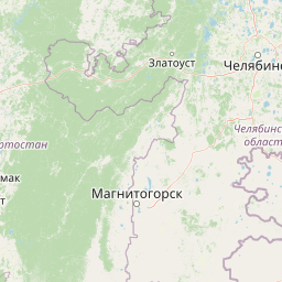
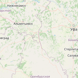
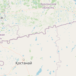
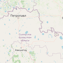
Distance Map Between Samara and Kostanay
Samara, Russia ↔ Kostanay, Kazakhstan = 557 miles = 896 km.


How far is it between Samara and Kostanay
Samara is located in Russia with (53.2001,50.15) coordinates and Kostanay is located in Kazakhstan with (53.2144,63.6246) coordinates. The calculated flying distance from Samara to Kostanay is equal to 557 miles which is equal to 896 km.
If you want to go by car, the driving distance between Samara and Kostanay is 1117.24 km. If you ride your car with an average speed of 112 kilometers/hour (70 miles/h), travel time will be 09 hours 58 minutes. Please check the avg. speed travel time table on the right for various options.
Difference between fly and go by a car is 221 km.
| City/Place | Latitude and Longitude | GPS Coordinates |
|---|---|---|
| Samara | 53.2001, 50.15 | 53° 12´ 0.2520'' N 50° 8´ 60.0000'' E |
| Kostanay | 53.2144, 63.6246 | 53° 12´ 51.6600'' N 63° 37´ 28.6680'' E |
Estimated Travel Time Between Samara and Kostanay
| Average Speed | Travel Time |
|---|---|
| 30 mph (48 km/h) | 23 hours 16 minutes |
| 40 mph (64 km/h) | 17 hours 27 minutes |
| 50 mph (80 km/h) | 13 hours 57 minutes |
| 60 mph (97 km/h) | 11 hours 31 minutes |
| 70 mph (112 km/h) | 09 hours 58 minutes |
| 75 mph (120 km/h) | 09 hours 18 minutes |
Related Distances from Samara
| Cities | Distance |
|---|---|
| Samara to Oral | 258 km |
| Samara to Baykonyr | 1563 km |
| Samara to Aral 2 | 1298 km |
| Samara to Aqtobe | 684 km |
| Samara to Kostanay | 1117 km |
Related Distances to Kostanay
| Cities | Distance |
|---|---|
| Yekaterinburg to Kostanay | 547 km |
| Chelyabinsk to Kostanay | 318 km |
| Salekhard to Kostanay | 2708 km |
| Novosibirsk to Kostanay | 1375 km |
| Perm to Kostanay | 902 km |