Distance from San Diego to El Centro
Distance between San Diego and El Centro is 149 kilometers (93 miles).
Driving distance from San Diego to El Centro is 182 kilometers (113 miles).
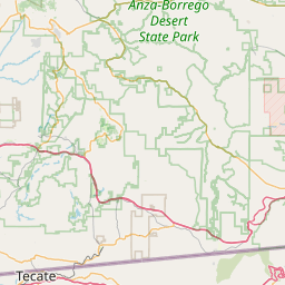
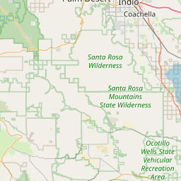
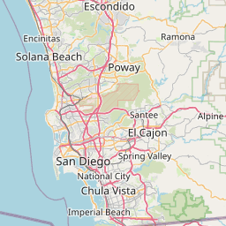
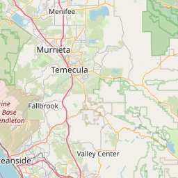
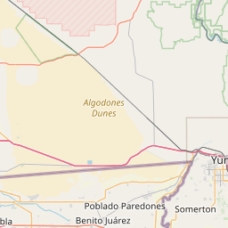
Distance Map Between San Diego and El Centro
San Diego, Sacramento, United States ↔ El Centro, Sacramento, United States = 93 miles = 149 km.


How far is it between San Diego and El Centro
San Diego is located in United States with (32.7153,-117.1573) coordinates and El Centro is located in United States with (32.792,-115.5631) coordinates. The calculated flying distance from San Diego to El Centro is equal to 93 miles which is equal to 149 km.
If you want to go by car, the driving distance between San Diego and El Centro is 182.06 km. If you ride your car with an average speed of 112 kilometers/hour (70 miles/h), travel time will be 01 hours 37 minutes. Please check the avg. speed travel time table on the right for various options.
Difference between fly and go by a car is 33 km.
| City/Place | Latitude and Longitude | GPS Coordinates |
|---|---|---|
| San Diego | 32.7153, -117.1573 | 32° 42´ 55.1880'' N 117° 9´ 26.1360'' W |
| El Centro | 32.792, -115.5631 | 32° 47´ 31.2000'' N 115° 33´ 46.9800'' W |
Estimated Travel Time Between San Diego and El Centro
| Average Speed | Travel Time |
|---|---|
| 30 mph (48 km/h) | 03 hours 47 minutes |
| 40 mph (64 km/h) | 02 hours 50 minutes |
| 50 mph (80 km/h) | 02 hours 16 minutes |
| 60 mph (97 km/h) | 01 hours 52 minutes |
| 70 mph (112 km/h) | 01 hours 37 minutes |
| 75 mph (120 km/h) | 01 hours 31 minutes |
Related Distances from San Diego
| Cities | Distance |
|---|---|
| San Diego to Los Angeles | 195 km |
| San Diego to Palm Springs | 224 km |
| San Diego to La Jolla | 22 km |
| San Diego to Carlsbad | 56 km |
| San Diego to Riverside | 164 km |
Related Distances to El Centro
| Cities | Distance |
|---|---|
| San Diego to El Centro | 182 km |
| Los Angeles to El Centro | 341 km |
| Temecula to El Centro | 259 km |
| Salinas to El Centro | 827 km |
| Riverside to El Centro | 269 km |