Distance from San Jose to Ceres
Distance between San Jose and Ceres is 87 kilometers (54 miles).
Driving distance from San Jose to Ceres is 152 kilometers (95 miles).
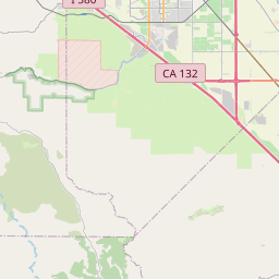
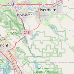
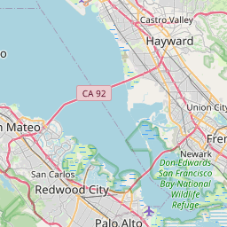
Distance Map Between San Jose and Ceres
San Jose, Sacramento, United States ↔ Ceres, Sacramento, United States = 54 miles = 87 km.


How far is it between San Jose and Ceres
San Jose is located in United States with (37.3394,-121.895) coordinates and Ceres is located in United States with (37.5949,-120.9577) coordinates. The calculated flying distance from San Jose to Ceres is equal to 54 miles which is equal to 87 km.
If you want to go by car, the driving distance between San Jose and Ceres is 152.3 km. If you ride your car with an average speed of 112 kilometers/hour (70 miles/h), travel time will be 01 hours 21 minutes. Please check the avg. speed travel time table on the right for various options.
Difference between fly and go by a car is 65 km.
| City/Place | Latitude and Longitude | GPS Coordinates |
|---|---|---|
| San Jose | 37.3394, -121.895 | 37° 20´ 21.8040'' N 121° 53´ 41.8560'' W |
| Ceres | 37.5949, -120.9577 | 37° 35´ 41.7480'' N 120° 57´ 27.7560'' W |
Estimated Travel Time Between San Jose and Ceres
| Average Speed | Travel Time |
|---|---|
| 30 mph (48 km/h) | 03 hours 10 minutes |
| 40 mph (64 km/h) | 02 hours 22 minutes |
| 50 mph (80 km/h) | 01 hours 54 minutes |
| 60 mph (97 km/h) | 01 hours 34 minutes |
| 70 mph (112 km/h) | 01 hours 21 minutes |
| 75 mph (120 km/h) | 01 hours 16 minutes |
Related Distances from San Jose
| Cities | Distance |
|---|---|
| San Jose to San Francisco | 77 km |
| San Jose to San Diego | 741 km |
| San Jose to Los Angeles | 550 km |
| San Jose to Hayward | 43 km |
| San Jose to Palo Alto | 27 km |
Related Distances to Ceres
| Cities | Distance |
|---|---|
| Stockton to Ceres | 57 km |
| Fresno to Ceres | 148 km |
| Tracy to Ceres | 54 km |
| Modesto to Ceres | 8 km |
| Elk Grove to Ceres | 105 km |