Distance from Sanchor to Sikar
Distance between Sanchor and Sikar is 462 kilometers (287 miles).
Driving distance from Sanchor to Sikar is 601 kilometers (373 miles).
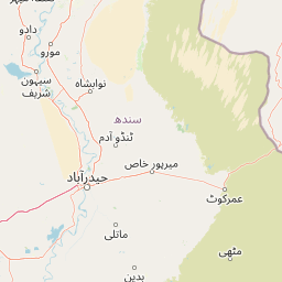
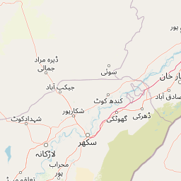
Distance Map Between Sanchor and Sikar
Sanchor, Jaipur, India ↔ Sikar, Jaipur, India = 287 miles = 462 km.


How far is it between Sānchor and Sīkar
Sanchor is located in India with (24.7536,71.7728) coordinates and Sikar is located in India with (27.6121,75.14) coordinates. The calculated flying distance from Sanchor to Sikar is equal to 287 miles which is equal to 462 km.
If you want to go by car, the driving distance between Sanchor and Sikar is 600.75 km. If you ride your car with an average speed of 112 kilometers/hour (70 miles/h), travel time will be 05 hours 21 minutes. Please check the avg. speed travel time table on the right for various options.
Difference between fly and go by a car is 139 km.
| City/Place | Latitude and Longitude | GPS Coordinates |
|---|---|---|
| Sanchor | 24.7536, 71.7728 | 24° 45´ 12.9960'' N 71° 46´ 22.0800'' E |
| Sikar | 27.6121, 75.14 | 27° 36´ 43.4160'' N 75° 8´ 23.8560'' E |
Estimated Travel Time Between Sānchor and Sīkar
| Average Speed | Travel Time |
|---|---|
| 30 mph (48 km/h) | 12 hours 30 minutes |
| 40 mph (64 km/h) | 09 hours 23 minutes |
| 50 mph (80 km/h) | 07 hours 30 minutes |
| 60 mph (97 km/h) | 06 hours 11 minutes |
| 70 mph (112 km/h) | 05 hours 21 minutes |
| 75 mph (120 km/h) | 05 hours 00 minutes |
Related Distances from Sanchor
| Cities | Distance |
|---|---|
| Sanchor to Sirohi | 135 km |
| Sanchor to Suratgarh | 663 km |
| Sanchor to Wer | 718 km |
| Sanchor to Udaipur 2 | 629 km |
| Sanchor to Udaipur | 271 km |
Related Distances to Sikar
| Cities | Distance |
|---|---|
| Neem Ka Thana to Sikar | 79 km |
| Ratangarh to Sikar | 87 km |
| Khandela to Sikar | 48 km |
| Losal to Sikar | 34 km |
| Kuchaman to Sikar | 69 km |