Distance from Santiago to Campana
Distance between Santiago and Campana is 1082 kilometers (672 miles).
Driving distance from Santiago to Campana is 1368 kilometers (850 miles).
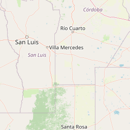
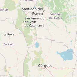
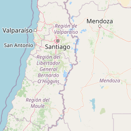
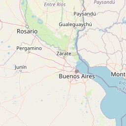
Distance Map Between Santiago and Campana
Santiago, Chile ↔ Campana, La Plata, Argentina = 672 miles = 1082 km.


How far is it between Santiago and Campana
Santiago is located in Chile with (-33.4569,-70.6483) coordinates and Campana is located in Argentina with (-34.1687,-58.9591) coordinates. The calculated flying distance from Santiago to Campana is equal to 672 miles which is equal to 1082 km.
If you want to go by car, the driving distance between Santiago and Campana is 1367.56 km. If you ride your car with an average speed of 112 kilometers/hour (70 miles/h), travel time will be 12 hours 12 minutes. Please check the avg. speed travel time table on the right for various options.
Difference between fly and go by a car is 286 km.
| City/Place | Latitude and Longitude | GPS Coordinates |
|---|---|---|
| Santiago | -33.4569, -70.6483 | 33° 27´ 24.9840'' S 70° 38´ 53.7720'' W |
| Campana | -34.1687, -58.9591 | 34° 10´ 7.4640'' S 58° 57´ 32.9040'' W |
Estimated Travel Time Between Santiago and Campana
| Average Speed | Travel Time |
|---|---|
| 30 mph (48 km/h) | 28 hours 29 minutes |
| 40 mph (64 km/h) | 21 hours 22 minutes |
| 50 mph (80 km/h) | 17 hours 05 minutes |
| 60 mph (97 km/h) | 14 hours 05 minutes |
| 70 mph (112 km/h) | 12 hours 12 minutes |
| 75 mph (120 km/h) | 11 hours 23 minutes |
Related Distances from Santiago
| Cities | Distance |
|---|---|
| Santiago to Aguilares | 1247 km |
| Santiago to Albardon | 542 km |
| Santiago to Alderetes | 1336 km |
| Santiago to Allen 2 | 1116 km |
| Santiago to Alta Gracia | 997 km |
| Santiago to Anatuya | 1316 km |
| Santiago to Aristobulo Del Valle | 2134 km |
| Santiago to Arroyito | 1158 km |
| Santiago to Arroyo Seco | 1272 km |
| Santiago to Avellaneda | 1574 km |
Related Distances to Campana
| Cities | Distance |
|---|---|
| Puente Alto to Campana | 1393 km |
| Santiago to Campana | 1368 km |