Distance from Santo Andre to Perez
Distance between Santo Andre and Perez is 1734 kilometers (1077 miles).
Driving distance from Santo Andre to Perez is 2168 kilometers (1347 miles).
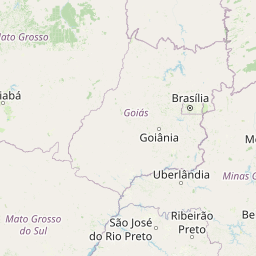
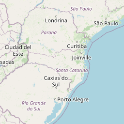
Distance Map Between Santo Andre and Perez
Santo Andre, Sao Paulo, Brazil ↔ Perez, Santa Fe de la Vera Cruz, Argentina = 1077 miles = 1734 km.


How far is it between Santo André and Pérez
Santo Andre is located in Brazil with (-23.6639,-46.5383) coordinates and Perez is located in Argentina with (-32.9984,-60.7679) coordinates. The calculated flying distance from Santo Andre to Perez is equal to 1077 miles which is equal to 1734 km.
If you want to go by car, the driving distance between Santo Andre and Perez is 2167.5 km. If you ride your car with an average speed of 112 kilometers/hour (70 miles/h), travel time will be 19 hours 21 minutes. Please check the avg. speed travel time table on the right for various options.
Difference between fly and go by a car is 434 km.
| City/Place | Latitude and Longitude | GPS Coordinates |
|---|---|---|
| Santo Andre | -23.6639, -46.5383 | 23° 39´ 50.0040'' S 46° 32´ 17.9880'' W |
| Perez | -32.9984, -60.7679 | 32° 59´ 54.0600'' S 60° 46´ 4.4760'' W |
Estimated Travel Time Between Santo André and Pérez
| Average Speed | Travel Time |
|---|---|
| 30 mph (48 km/h) | 45 hours 09 minutes |
| 40 mph (64 km/h) | 33 hours 52 minutes |
| 50 mph (80 km/h) | 27 hours 05 minutes |
| 60 mph (97 km/h) | 22 hours 20 minutes |
| 70 mph (112 km/h) | 19 hours 21 minutes |
| 75 mph (120 km/h) | 18 hours 03 minutes |
Related Distances from Santo Andre
| Cities | Distance |
|---|---|
| Santo Andre to Aguilares | 2502 km |
| Santo Andre to Alderetes | 2482 km |
| Santo Andre to Alta Gracia | 2429 km |
| Santo Andre to Arroyito | 2274 km |
| Santo Andre to Arroyo Seco | 2221 km |
| Santo Andre to Azul | 2561 km |
| Santo Andre to Bell Ville | 2341 km |
| Santo Andre to Bella Vista 3 | 2469 km |
| Santo Andre to Buenos Aires | 2261 km |
| Santo Andre to Campana | 2181 km |
Related Distances to Perez
| Cities | Distance |
|---|---|
| Uberlandia to Perez | 2357 km |
| Porto Alegre to Perez | 1241 km |
| Duque De Caxias to Perez | 2574 km |
| Belo Horizonte to Perez | 2732 km |
| Ribeirao Preto to Perez | 2157 km |
| Sao Bernardo Do Campo to Perez | 2159 km |
| Curitiba to Perez | 1701 km |
| Sao Paulo to Perez | 2130 km |
| Contagem to Perez | 2707 km |
| Sao Jose Dos Campos to Perez | 2231 km |