Distance from Schaumburg to Gurnee
Distance between Schaumburg and Gurnee is 40 kilometers (25 miles).
Driving distance from Schaumburg to Gurnee is 70 kilometers (43 miles).
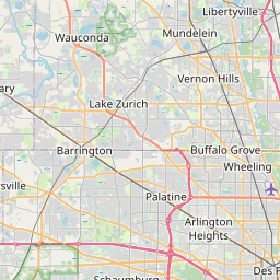
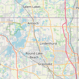
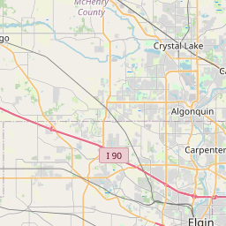
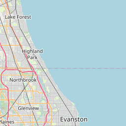
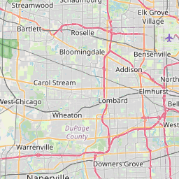
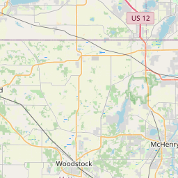
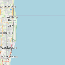
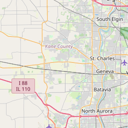
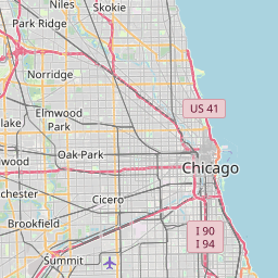
Distance Map Between Schaumburg and Gurnee
Schaumburg, Springfield, United States ↔ Gurnee, Springfield, United States = 25 miles = 40 km.


How far is it between Schaumburg and Gurnee
Schaumburg is located in United States with (42.0334,-88.0834) coordinates and Gurnee is located in United States with (42.3703,-87.902) coordinates. The calculated flying distance from Schaumburg to Gurnee is equal to 25 miles which is equal to 40 km.
If you want to go by car, the driving distance between Schaumburg and Gurnee is 70 km. If you ride your car with an average speed of 112 kilometers/hour (70 miles/h), travel time will be 00 hours 37 minutes. Please check the avg. speed travel time table on the right for various options.
Difference between fly and go by a car is 30 km.
| City/Place | Latitude and Longitude | GPS Coordinates |
|---|---|---|
| Schaumburg | 42.0334, -88.0834 | 42° 2´ 0.0960'' N 88° 5´ 0.2760'' W |
| Gurnee | 42.3703, -87.902 | 42° 22´ 13.0800'' N 87° 54´ 7.2720'' W |
Estimated Travel Time Between Schaumburg and Gurnee
| Average Speed | Travel Time |
|---|---|
| 30 mph (48 km/h) | 01 hours 27 minutes |
| 40 mph (64 km/h) | 01 hours 05 minutes |
| 50 mph (80 km/h) | 00 hours 52 minutes |
| 60 mph (97 km/h) | 00 hours 43 minutes |
| 70 mph (112 km/h) | 00 hours 37 minutes |
| 75 mph (120 km/h) | 00 hours 35 minutes |
Related Distances from Schaumburg
| Cities | Distance |
|---|---|
| Schaumburg to Brookfield 2 | 37 km |
| Schaumburg to Chicago | 51 km |
| Schaumburg to Hoffman Estates | 1 km |
| Schaumburg to Elgin | 18 km |
| Schaumburg to Highland Park | 52 km |
Related Distances to Gurnee
| Cities | Distance |
|---|---|
| Northbrook to Gurnee | 33 km |
| Schaumburg to Gurnee | 70 km |
| Niles to Gurnee | 47 km |
| Naperville to Gurnee | 86 km |
| Highland Park to Gurnee | 25 km |