Distance from Sendai to Tahe
Distance between Sendai and Tahe is 2001 kilometers (1243 miles).
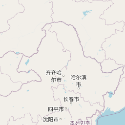
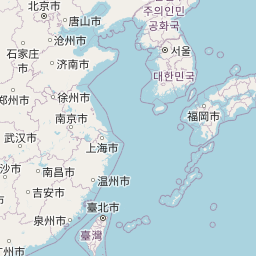
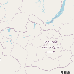
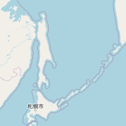
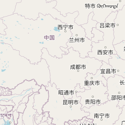
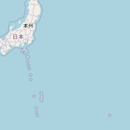
Distance Map Between Sendai and Tahe
Sendai, Sendai-shi, Japan ↔ Tahe, Harbin, China = 1243 miles = 2001 km.


Leaflet | © OpenStreetMap
How far is it between Sendai and Tahe
Sendai is located in Japan with (38.2576,140.8667) coordinates and Tahe is located in China with (52.3333,124.7333) coordinates. The calculated flying distance from Sendai to Tahe is equal to 1243 miles which is equal to 2001 km.
| City/Place | Latitude and Longitude | GPS Coordinates |
|---|---|---|
| Sendai | 38.2576, 140.8667 | 38° 15´ 27.3240'' N 140° 52´ 0.1200'' E |
| Tahe | 52.3333, 124.7333 | 52° 19´ 59.9880'' N 124° 43´ 59.9880'' E |
Sendai, Sendai-shi, Japan
Related Distances from Sendai
| Cities | Distance |
|---|---|
| Sendai to Ishinomaki | 57 km |
| Sendai to Furukawa | 48 km |
| Sendai to Matsushima | 29 km |
| Sendai to Shiroishi | 45 km |
| Sendai to Shiogama | 20 km |
Tahe, Harbin, China
Related Distances to Tahe
| Cities | Distance |
|---|---|
| Huanan to Tahe | 1395 km |
| Fujin to Tahe | 1485 km |
| Shangzhi to Tahe | 1128 km |
| Boli to Tahe | 1341 km |
| Taihe to Tahe | 1363 km |