Distance from Seto to Takahama
Distance between Seto and Takahama is 37 kilometers (23 miles).
Driving distance from Seto to Takahama is 57 kilometers (35 miles).
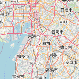
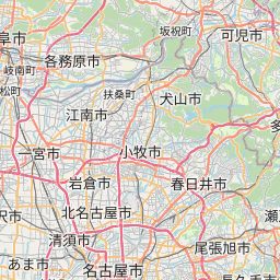
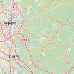
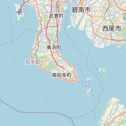
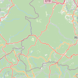
Distance Map Between Seto and Takahama
Seto, Nagoya-shi, Japan ↔ Takahama, Nagoya-shi, Japan = 23 miles = 37 km.

How far is it between Seto and Takahama
Seto is located in Japan with (35.2333,137.1) coordinates and Takahama is located in Japan with (34.9167,136.9833) coordinates. The calculated flying distance from Seto to Takahama is equal to 23 miles which is equal to 37 km.
If you want to go by car, the driving distance between Seto and Takahama is 57.11 km. If you ride your car with an average speed of 112 kilometers/hour (70 miles/h), travel time will be 00 hours 30 minutes. Please check the avg. speed travel time table on the right for various options.
Difference between fly and go by a car is 20 km.
| City/Place | Latitude and Longitude | GPS Coordinates |
|---|---|---|
| Seto | 35.2333, 137.1 | 35° 13´ 59.9880'' N 137° 5´ 60.0000'' E |
| Takahama | 34.9167, 136.9833 | 34° 55´ 0.0120'' N 136° 58´ 59.9880'' E |
Estimated Travel Time Between Seto and Takahama
| Average Speed | Travel Time |
|---|---|
| 30 mph (48 km/h) | 01 hours 11 minutes |
| 40 mph (64 km/h) | 00 hours 53 minutes |
| 50 mph (80 km/h) | 00 hours 42 minutes |
| 60 mph (97 km/h) | 00 hours 35 minutes |
| 70 mph (112 km/h) | 00 hours 30 minutes |
| 75 mph (120 km/h) | 00 hours 28 minutes |
Related Distances from Seto
| Cities | Distance |
|---|---|
| Seto to Toyota | 20 km |
| Seto to Tokoname | 59 km |
| Seto to Taketoyo | 62 km |
| Seto to Toyohashi | 75 km |
| Seto to Tsushima | 52 km |
Related Distances to Takahama
| Cities | Distance |
|---|---|
| Anjo to Takahama | 12 km |
| Okazaki to Takahama | 21 km |
| Ichinomiya to Takahama | 55 km |
| Handa to Takahama | 9 km |
| Inazawa to Takahama | 55 km |