Distance from Shantou to Fuzhou
Distance between Shantou and Fuzhou is 398 kilometers (247 miles).
Driving distance from Shantou to Fuzhou is 498 kilometers (309 miles).
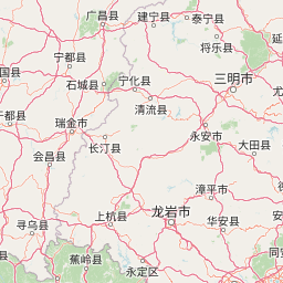
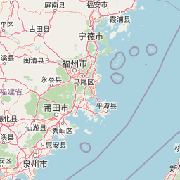
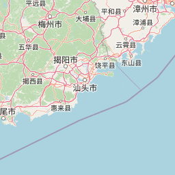
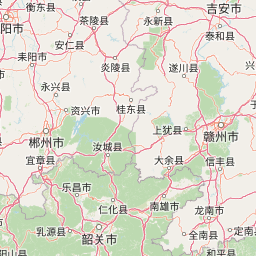
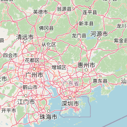
Distance Map Between Shantou and Fuzhou
Shantou, Guangzhou, China ↔ Fuzhou, China = 247 miles = 398 km.


How far is it between Shantou and Fuzhou
Shantou is located in China with (23.3681,116.7148) coordinates and Fuzhou is located in China with (26.0614,119.3061) coordinates. The calculated flying distance from Shantou to Fuzhou is equal to 247 miles which is equal to 398 km.
If you want to go by car, the driving distance between Shantou and Fuzhou is 497.89 km. If you ride your car with an average speed of 112 kilometers/hour (70 miles/h), travel time will be 04 hours 26 minutes. Please check the avg. speed travel time table on the right for various options.
Difference between fly and go by a car is 100 km.
| City/Place | Latitude and Longitude | GPS Coordinates |
|---|---|---|
| Shantou | 23.3681, 116.7148 | 23° 22´ 5.3040'' N 116° 42´ 53.2440'' E |
| Fuzhou | 26.0614, 119.3061 | 26° 3´ 41.0040'' N 119° 18´ 21.9960'' E |
Estimated Travel Time Between Shantou and Fuzhou
| Average Speed | Travel Time |
|---|---|
| 30 mph (48 km/h) | 10 hours 22 minutes |
| 40 mph (64 km/h) | 07 hours 46 minutes |
| 50 mph (80 km/h) | 06 hours 13 minutes |
| 60 mph (97 km/h) | 05 hours 07 minutes |
| 70 mph (112 km/h) | 04 hours 26 minutes |
| 75 mph (120 km/h) | 04 hours 08 minutes |
Related Distances from Shantou
| Cities | Distance |
|---|---|
| Shantou to Shenzhen | 337 km |
| Shantou to Fuzhou | 498 km |
| Shantou to Shanwei | 199 km |
| Shantou to Zhuhai | 475 km |
| Shantou to Zhanjiang | 824 km |
Related Distances to Fuzhou
| Cities | Distance |
|---|---|
| Beijing to Fuzhou | 1931 km |
| Fuqing to Fuzhou | 59 km |
| Shantou to Fuzhou | 498 km |
| Chengdu to Fuzhou | 2050 km |
| Chongqing to Fuzhou | 1776 km |