Distance from Shaoguan to Xucheng
Distance between Shaoguan and Xucheng is 608 kilometers (378 miles).
Driving distance from Shaoguan to Xucheng is 752 kilometers (467 miles).
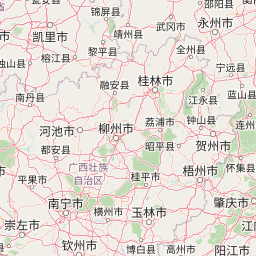
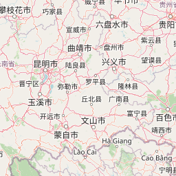
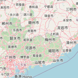
Distance Map Between Shaoguan and Xucheng
Shaoguan, Guangzhou, China ↔ Xucheng, Guangzhou, China = 378 miles = 608 km.


How far is it between Shaoguan and Xucheng
Shaoguan is located in China with (24.8,113.5833) coordinates and Xucheng is located in China with (20.3292,110.1671) coordinates. The calculated flying distance from Shaoguan to Xucheng is equal to 378 miles which is equal to 608 km.
If you want to go by car, the driving distance between Shaoguan and Xucheng is 751.65 km. If you ride your car with an average speed of 112 kilometers/hour (70 miles/h), travel time will be 06 hours 42 minutes. Please check the avg. speed travel time table on the right for various options.
Difference between fly and go by a car is 144 km.
| City/Place | Latitude and Longitude | GPS Coordinates |
|---|---|---|
| Shaoguan | 24.8, 113.5833 | 24° 48´ 0.0000'' N 113° 34´ 59.9880'' E |
| Xucheng | 20.3292, 110.1671 | 20° 19´ 45.0120'' N 110° 10´ 1.6320'' E |
Estimated Travel Time Between Shaoguan and Xucheng
| Average Speed | Travel Time |
|---|---|
| 30 mph (48 km/h) | 15 hours 39 minutes |
| 40 mph (64 km/h) | 11 hours 44 minutes |
| 50 mph (80 km/h) | 09 hours 23 minutes |
| 60 mph (97 km/h) | 07 hours 44 minutes |
| 70 mph (112 km/h) | 06 hours 42 minutes |
| 75 mph (120 km/h) | 06 hours 15 minutes |
Related Distances from Shaoguan
| Cities | Distance |
|---|---|
| Shaoguan to Shenzhen | 345 km |
| Shaoguan to Tangping | 470 km |
| Shaoguan to Yunfu | 370 km |
| Shaoguan to Zhuhai | 350 km |
| Shaoguan to Heyuan | 349 km |
Related Distances to Xucheng
| Cities | Distance |
|---|---|
| Foshan to Xucheng | 524 km |
| Pingshan to Xucheng | 688 km |
| Zhongshan to Xucheng | 174 km |
| Xinyi to Xucheng | 315 km |
| Ducheng to Xucheng | 531 km |