Distance from Shaping to Shiwan
Distance between Shaping and Shiwan is 28 kilometers (18 miles).
Driving distance from Shaping to Shiwan is 36 kilometers (23 miles).
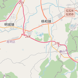
Distance Map Between Shaping and Shiwan
Shaping, Guangzhou, China ↔ Shiwan, Guangzhou, China = 18 miles = 28 km.


How far is it between Shaping and Shiwan
Shaping is located in China with (22.7702,112.9578) coordinates and Shiwan is located in China with (23.0011,113.077) coordinates. The calculated flying distance from Shaping to Shiwan is equal to 18 miles which is equal to 28 km.
If you want to go by car, the driving distance between Shaping and Shiwan is 36.25 km. If you ride your car with an average speed of 112 kilometers/hour (70 miles/h), travel time will be 00 hours 19 minutes. Please check the avg. speed travel time table on the right for various options.
Difference between fly and go by a car is 8 km.
| City/Place | Latitude and Longitude | GPS Coordinates |
|---|---|---|
| Shaping | 22.7702, 112.9578 | 22° 46´ 12.6840'' N 112° 57´ 27.9360'' E |
| Shiwan | 23.0011, 113.077 | 23° 0´ 3.8520'' N 113° 4´ 37.2000'' E |
Estimated Travel Time Between Shaping and Shiwan
| Average Speed | Travel Time |
|---|---|
| 30 mph (48 km/h) | 00 hours 45 minutes |
| 40 mph (64 km/h) | 00 hours 33 minutes |
| 50 mph (80 km/h) | 00 hours 27 minutes |
| 60 mph (97 km/h) | 00 hours 22 minutes |
| 70 mph (112 km/h) | 00 hours 19 minutes |
| 75 mph (120 km/h) | 00 hours 18 minutes |
Related Distances from Shaping
| Cities | Distance |
|---|---|
| Shaping to Shenzhen | 159 km |
| Shaping to Yunfu | 129 km |
| Shaping to Zhuhai | 115 km |
| Shaping to Shiqi | 77 km |
| Shaping to Heyuan | 259 km |
Related Distances to Shiwan
| Cities | Distance |
|---|---|
| Huizhou to Shiwan | 193 km |
| Dongguan to Shiwan | 98 km |
| Shenzhen to Shiwan | 169 km |
| Jiangmen to Shiwan | 61 km |
| Jiazi to Shiwan | 380 km |