Distance from Shelby to Owosso
Distance between Shelby and Owosso is 100 kilometers (62 miles).
Driving distance from Shelby to Owosso is 129 kilometers (80 miles).
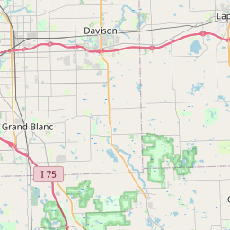
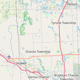
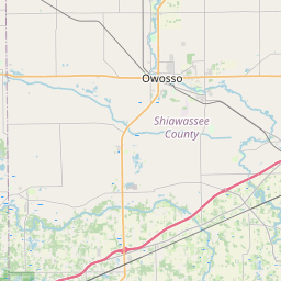
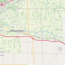
Distance Map Between Shelby and Owosso
Shelby, Lansing, United States ↔ Owosso, Lansing, United States = 62 miles = 100 km.

How far is it between Shelby and Owosso
Shelby is located in United States with (42.6709,-83.033) coordinates and Owosso is located in United States with (42.9978,-84.1766) coordinates. The calculated flying distance from Shelby to Owosso is equal to 62 miles which is equal to 100 km.
If you want to go by car, the driving distance between Shelby and Owosso is 129.13 km. If you ride your car with an average speed of 112 kilometers/hour (70 miles/h), travel time will be 01 hours 09 minutes. Please check the avg. speed travel time table on the right for various options.
Difference between fly and go by a car is 29 km.
| City/Place | Latitude and Longitude | GPS Coordinates |
|---|---|---|
| Shelby | 42.6709, -83.033 | 42° 40´ 15.1320'' N 83° 1´ 58.7280'' W |
| Owosso | 42.9978, -84.1766 | 42° 59´ 52.0800'' N 84° 10´ 35.9040'' W |
Estimated Travel Time Between Shelby and Owosso
| Average Speed | Travel Time |
|---|---|
| 30 mph (48 km/h) | 02 hours 41 minutes |
| 40 mph (64 km/h) | 02 hours 01 minutes |
| 50 mph (80 km/h) | 01 hours 36 minutes |
| 60 mph (97 km/h) | 01 hours 19 minutes |
| 70 mph (112 km/h) | 01 hours 09 minutes |
| 75 mph (120 km/h) | 01 hours 04 minutes |
Related Distances from Shelby
| Cities | Distance |
|---|---|
| Shelby to Livonia | 64 km |
| Shelby to Grand Rapids | 263 km |
| Shelby to Port Huron | 69 km |
| Shelby to Detroit | 49 km |
| Shelby to Monroe 3 | 116 km |
Related Distances to Owosso
| Cities | Distance |
|---|---|
| Saginaw to Owosso | 64 km |
| Sterling Heights to Owosso | 127 km |
| Romulus to Owosso | 145 km |
| Royal Oak to Owosso | 131 km |
| Ypsilanti to Owosso | 128 km |