Distance from Shelton to Norwich
Distance between Shelton and Norwich is 88 kilometers (55 miles).
Driving distance from Shelton to Norwich is 105 kilometers (65 miles).
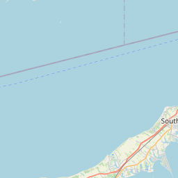
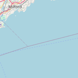
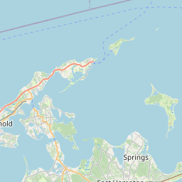
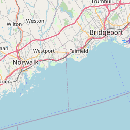
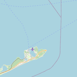
Distance Map Between Shelton and Norwich
Shelton, Hartford, United States ↔ Norwich, Hartford, United States = 55 miles = 88 km.


How far is it between Shelton and Norwich
Shelton is located in United States with (41.3165,-73.0932) coordinates and Norwich is located in United States with (41.5243,-72.0759) coordinates. The calculated flying distance from Shelton to Norwich is equal to 55 miles which is equal to 88 km.
If you want to go by car, the driving distance between Shelton and Norwich is 104.76 km. If you ride your car with an average speed of 112 kilometers/hour (70 miles/h), travel time will be 00 hours 56 minutes. Please check the avg. speed travel time table on the right for various options.
Difference between fly and go by a car is 17 km.
| City/Place | Latitude and Longitude | GPS Coordinates |
|---|---|---|
| Shelton | 41.3165, -73.0932 | 41° 18´ 59.3640'' N 73° 5´ 35.3760'' W |
| Norwich | 41.5243, -72.0759 | 41° 31´ 27.3360'' N 72° 4´ 33.2760'' W |
Estimated Travel Time Between Shelton and Norwich
| Average Speed | Travel Time |
|---|---|
| 30 mph (48 km/h) | 02 hours 10 minutes |
| 40 mph (64 km/h) | 01 hours 38 minutes |
| 50 mph (80 km/h) | 01 hours 18 minutes |
| 60 mph (97 km/h) | 01 hours 04 minutes |
| 70 mph (112 km/h) | 00 hours 56 minutes |
| 75 mph (120 km/h) | 00 hours 52 minutes |
Related Distances from Shelton
| Cities | Distance |
|---|---|
| Shelton to New Haven | 17 km |
| Shelton to Danbury | 42 km |
| Shelton to Glastonbury | 71 km |
| Shelton to Milford | 16 km |
| Shelton to Hamden | 23 km |
Related Distances to Norwich
| Cities | Distance |
|---|---|
| Windham to Norwich 2 | 24 km |
| Cheshire to Norwich 2 | 101 km |
| Stratford to Norwich 2 | 113 km |
| Stamford to Norwich 2 | 152 km |
| Shelton to Norwich 2 | 105 km |