Distance from Sibu to Soe
Distance between Sibu and Soe is 1932 kilometers (1201 miles).
Driving distance from Sibu to Soe is 3960 kilometers (2461 miles).
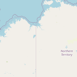
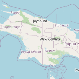
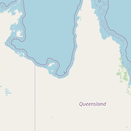
Distance Map Between Sibu and Soe
Sibu, Kuching, Malaysia ↔ Soe, Kupang, Indonesia = 1201 miles = 1932 km.


How far is it between Sibu and Soe
Sibu is located in Malaysia with (2.3,111.8167) coordinates and Soe is located in Indonesia with (-9.8607,124.284) coordinates. The calculated flying distance from Sibu to Soe is equal to 1201 miles which is equal to 1932 km.
If you want to go by car, the driving distance between Sibu and Soe is 3960.21 km. If you ride your car with an average speed of 112 kilometers/hour (70 miles/h), travel time will be 35 hours 21 minutes. Please check the avg. speed travel time table on the right for various options.
Difference between fly and go by a car is 2028 km.
| City/Place | Latitude and Longitude | GPS Coordinates |
|---|---|---|
| Sibu | 2.3, 111.8167 | 2° 17´ 60.0000'' N 111° 49´ 0.0120'' E |
| Soe | -9.8607, 124.284 | 9° 51´ 38.5560'' S 124° 17´ 2.2200'' E |
Estimated Travel Time Between Sibu and Soe
| Average Speed | Travel Time |
|---|---|
| 30 mph (48 km/h) | 82 hours 30 minutes |
| 40 mph (64 km/h) | 61 hours 52 minutes |
| 50 mph (80 km/h) | 49 hours 30 minutes |
| 60 mph (97 km/h) | 40 hours 49 minutes |
| 70 mph (112 km/h) | 35 hours 21 minutes |
| 75 mph (120 km/h) | 33 hours 00 minutes |
Related Distances from Sibu
| Cities | Distance |
|---|---|
| Sibu to Ende | 3275 km |
| Sibu to Kupang | 3676 km |
| Sibu to Medan | 3477 km |
| Sibu to Jakarta | 1425 km |
| Sibu to Atambua | 4123 km |
Related Distances to Soe
| Cities | Distance |
|---|---|
| Lahad Datu to Soe | 4905 km |
| Tawau to Soe | 5069 km |
| Miri to Soe | 4359 km |
| Sibu to Soe | 3960 km |
| Sarikei to Soe | 3729 km |