Distance from Simi Valley to Ceres
Distance between Simi Valley and Ceres is 418 kilometers (260 miles).
Driving distance from Simi Valley to Ceres is 494 kilometers (307 miles).
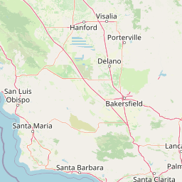
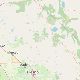
Distance Map Between Simi Valley and Ceres
Simi Valley, Sacramento, United States ↔ Ceres, Sacramento, United States = 260 miles = 418 km.


How far is it between Simi Valley and Ceres
Simi Valley is located in United States with (34.2695,-118.7815) coordinates and Ceres is located in United States with (37.5949,-120.9577) coordinates. The calculated flying distance from Simi Valley to Ceres is equal to 260 miles which is equal to 418 km.
If you want to go by car, the driving distance between Simi Valley and Ceres is 494.01 km. If you ride your car with an average speed of 112 kilometers/hour (70 miles/h), travel time will be 04 hours 24 minutes. Please check the avg. speed travel time table on the right for various options.
Difference between fly and go by a car is 76 km.
| City/Place | Latitude and Longitude | GPS Coordinates |
|---|---|---|
| Simi Valley | 34.2695, -118.7815 | 34° 16´ 10.0200'' N 118° 46´ 53.3280'' W |
| Ceres | 37.5949, -120.9577 | 37° 35´ 41.7480'' N 120° 57´ 27.7560'' W |
Estimated Travel Time Between Simi Valley and Ceres
| Average Speed | Travel Time |
|---|---|
| 30 mph (48 km/h) | 10 hours 17 minutes |
| 40 mph (64 km/h) | 07 hours 43 minutes |
| 50 mph (80 km/h) | 06 hours 10 minutes |
| 60 mph (97 km/h) | 05 hours 05 minutes |
| 70 mph (112 km/h) | 04 hours 24 minutes |
| 75 mph (120 km/h) | 04 hours 07 minutes |
Related Distances from Simi Valley
| Cities | Distance |
|---|---|
| Simi Valley to Adelanto | 163 km |
| Simi Valley to Agoura | 28 km |
| Simi Valley to Agoura Hills | 25 km |
| Simi Valley to Alameda | 590 km |
| Simi Valley to Albany 5 | 606 km |
| Simi Valley to Alhambra | 76 km |
| Simi Valley to Aliso Viejo | 152 km |
| Simi Valley to Altadena | 69 km |
| Simi Valley to Alum Rock | 545 km |
| Simi Valley to American Canyon | 626 km |
Related Distances to Ceres
| Cities | Distance |
|---|---|
| Westminster 2 to Ceres | 543 km |
| Fresno to Ceres | 148 km |
| Visalia to Ceres | 213 km |
| Chico to Ceres | 272 km |
| Stockton to Ceres | 57 km |
| Livermore to Ceres | 87 km |
| Vacaville to Ceres | 151 km |
| Tracy to Ceres | 54 km |
| Huntington Beach to Ceres | 554 km |
| San Francisco to Ceres | 155 km |