Distance from Singapore to Batu Arang
Distance between Singapore and Batu Arang is 348 kilometers (216 miles).
Driving distance from Singapore to Batu Arang is 411 kilometers (255 miles).
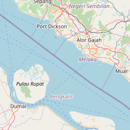
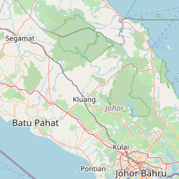
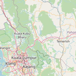
Distance Map Between Singapore and Batu Arang
Singapore, Singapore ↔ Batu Arang, Klang, Malaysia = 216 miles = 348 km.


How far is it between Singapore and Batu Arang
Singapore is located in Singapore with (1.2897,103.8501) coordinates and Batu Arang is located in Malaysia with (3.3167,101.4667) coordinates. The calculated flying distance from Singapore to Batu Arang is equal to 216 miles which is equal to 348 km.
If you want to go by car, the driving distance between Singapore and Batu Arang is 410.92 km. If you ride your car with an average speed of 112 kilometers/hour (70 miles/h), travel time will be 03 hours 40 minutes. Please check the avg. speed travel time table on the right for various options.
Difference between fly and go by a car is 63 km.
| City/Place | Latitude and Longitude | GPS Coordinates |
|---|---|---|
| Singapore | 1.2897, 103.8501 | 1° 17´ 22.8120'' N 103° 51´ 0.2520'' E |
| Batu Arang | 3.3167, 101.4667 | 3° 19´ 0.0120'' N 101° 28´ 0.0120'' E |
Estimated Travel Time Between Singapore and Batu Arang
| Average Speed | Travel Time |
|---|---|
| 30 mph (48 km/h) | 08 hours 33 minutes |
| 40 mph (64 km/h) | 06 hours 25 minutes |
| 50 mph (80 km/h) | 05 hours 08 minutes |
| 60 mph (97 km/h) | 04 hours 14 minutes |
| 70 mph (112 km/h) | 03 hours 40 minutes |
| 75 mph (120 km/h) | 03 hours 25 minutes |
Related Distances from Singapore
| Cities | Distance |
|---|---|
| Singapore to Kuala Lumpur | 369 km |
| Singapore to Johor Bahru | 29 km |
| Singapore to Malacca | 256 km |
| Singapore to Ipoh | 571 km |
| Singapore to Kota Kinabalu | 3374 km |
Related Distances to Batu Arang
| Cities | Distance |
|---|---|
| Singapore to Batu Arang | 411 km |