Distance from Singapore to Paciran
Distance between Singapore and Paciran is 1311 kilometers (815 miles).
Driving distance from Singapore to Paciran is 1945 kilometers (1208 miles).
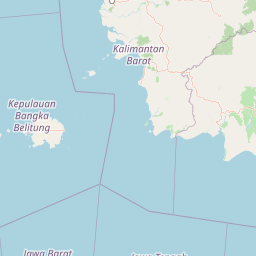
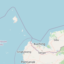
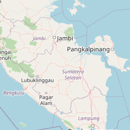
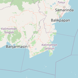
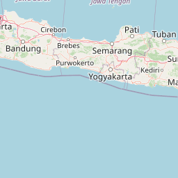
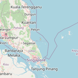
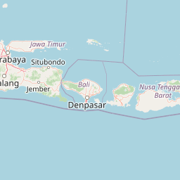
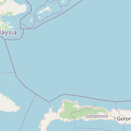
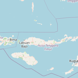
Distance Map Between Singapore and Paciran
Singapore, Singapore ↔ Paciran, Surabaya, Indonesia = 815 miles = 1311 km.


How far is it between Singapore and Paciran
Singapore is located in Singapore with (1.2897,103.8501) coordinates and Paciran is located in Indonesia with (-6.8767,112.3761) coordinates. The calculated flying distance from Singapore to Paciran is equal to 815 miles which is equal to 1311 km.
If you want to go by car, the driving distance between Singapore and Paciran is 1944.5 km. If you ride your car with an average speed of 112 kilometers/hour (70 miles/h), travel time will be 17 hours 21 minutes. Please check the avg. speed travel time table on the right for various options.
Difference between fly and go by a car is 634 km.
| City/Place | Latitude and Longitude | GPS Coordinates |
|---|---|---|
| Singapore | 1.2897, 103.8501 | 1° 17´ 22.8120'' N 103° 51´ 0.2520'' E |
| Paciran | -6.8767, 112.3761 | 6° 52´ 35.9760'' S 112° 22´ 33.8160'' E |
Estimated Travel Time Between Singapore and Paciran
| Average Speed | Travel Time |
|---|---|
| 30 mph (48 km/h) | 40 hours 30 minutes |
| 40 mph (64 km/h) | 30 hours 22 minutes |
| 50 mph (80 km/h) | 24 hours 18 minutes |
| 60 mph (97 km/h) | 20 hours 02 minutes |
| 70 mph (112 km/h) | 17 hours 21 minutes |
| 75 mph (120 km/h) | 16 hours 12 minutes |
Related Distances from Singapore
| Cities | Distance |
|---|---|
| Singapore to Jakarta | 1171 km |
| Singapore to Surabaya | 2008 km |
| Singapore to Medan | 725 km |
| Singapore to Tanjungpinang | 2138 km |
| Singapore to Yogyakarta | 1677 km |