Distance from Sint-Oedenrode to Zundert
Distance between Sint-Oedenrode and Zundert is 57 kilometers (35 miles).
Driving distance from Sint-Oedenrode to Zundert is 82 kilometers (51 miles).
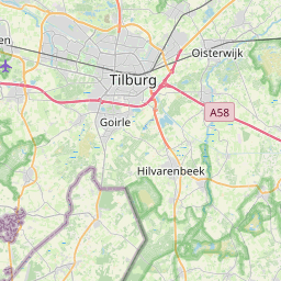
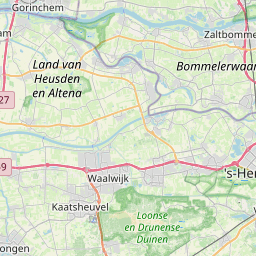
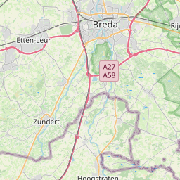
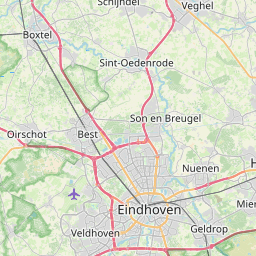
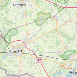
Distance Map Between Sint-Oedenrode and Zundert
Sint-Oedenrode, 's-Hertogenbosch, Netherlands ↔ Zundert, 's-Hertogenbosch, Netherlands = 35 miles = 57 km.


How far is it between Sint-Oedenrode and Zundert
Sint-Oedenrode is located in Netherlands with (51.5675,5.4597) coordinates and Zundert is located in Netherlands with (51.4717,4.6556) coordinates. The calculated flying distance from Sint-Oedenrode to Zundert is equal to 35 miles which is equal to 57 km.
If you want to go by car, the driving distance between Sint-Oedenrode and Zundert is 81.8 km. If you ride your car with an average speed of 112 kilometers/hour (70 miles/h), travel time will be 00 hours 43 minutes. Please check the avg. speed travel time table on the right for various options.
Difference between fly and go by a car is 25 km.
| City/Place | Latitude and Longitude | GPS Coordinates |
|---|---|---|
| Sint-Oedenrode | 51.5675, 5.4597 | 51° 34´ 3.0000'' N 5° 27´ 34.9920'' E |
| Zundert | 51.4717, 4.6556 | 51° 28´ 18.0120'' N 4° 39´ 20.0160'' E |
Estimated Travel Time Between Sint-Oedenrode and Zundert
| Average Speed | Travel Time |
|---|---|
| 30 mph (48 km/h) | 01 hours 42 minutes |
| 40 mph (64 km/h) | 01 hours 16 minutes |
| 50 mph (80 km/h) | 01 hours 01 minutes |
| 60 mph (97 km/h) | 00 hours 50 minutes |
| 70 mph (112 km/h) | 00 hours 43 minutes |
| 75 mph (120 km/h) | 00 hours 40 minutes |
Related Distances from Sint-Oedenrode
| Cities | Distance |
|---|---|
| Sint Oedenrode to Waalre | 30 km |
| Sint Oedenrode to Waalwijk | 50 km |
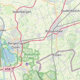
| Sint Oedenrode to Steenbergen | 118 km |
| Sint Oedenrode to Veldhoven | 28 km |
| Sint Oedenrode to Zundert | 82 km |
Related Distances to Zundert
| Cities | Distance |
|---|---|
| Eindhoven to Zundert | 75 km |
| Roosendaal to Zundert | 20 km |
| Valkenswaard to Zundert | 84 km |
| Nuenen to Zundert | 80 km |
| Breda to Zundert | 17 km |