Distance from Sioux City to Ames
Distance between Sioux City and Ames is 235 kilometers (146 miles).
Driving distance from Sioux City to Ames is 286 kilometers (178 miles).
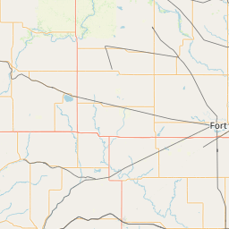
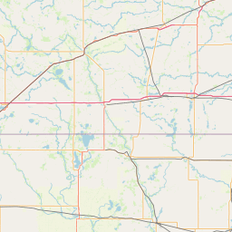
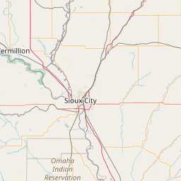
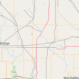
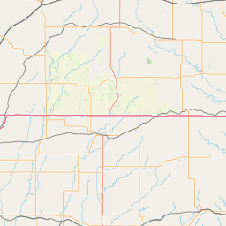
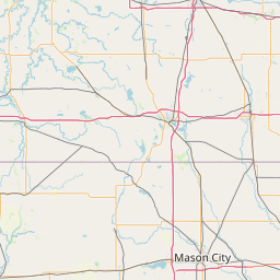
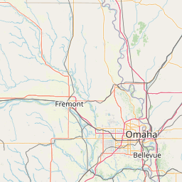
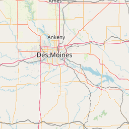
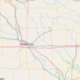
Distance Map Between Sioux City and Ames
Sioux City, Des Moines, United States ↔ Ames, Des Moines, United States = 146 miles = 235 km.


How far is it between Sioux City and Ames
Sioux City is located in United States with (42.5,-96.4003) coordinates and Ames is located in United States with (42.0347,-93.6199) coordinates. The calculated flying distance from Sioux City to Ames is equal to 146 miles which is equal to 235 km.
If you want to go by car, the driving distance between Sioux City and Ames is 286.3 km. If you ride your car with an average speed of 112 kilometers/hour (70 miles/h), travel time will be 02 hours 33 minutes. Please check the avg. speed travel time table on the right for various options.
Difference between fly and go by a car is 51 km.
| City/Place | Latitude and Longitude | GPS Coordinates |
|---|---|---|
| Sioux City | 42.5, -96.4003 | 42° 29´ 59.9640'' N 96° 24´ 1.1160'' W |
| Ames | 42.0347, -93.6199 | 42° 2´ 4.9560'' N 93° 37´ 11.7840'' W |
Estimated Travel Time Between Sioux City and Ames
| Average Speed | Travel Time |
|---|---|
| 30 mph (48 km/h) | 05 hours 57 minutes |
| 40 mph (64 km/h) | 04 hours 28 minutes |
| 50 mph (80 km/h) | 03 hours 34 minutes |
| 60 mph (97 km/h) | 02 hours 57 minutes |
| 70 mph (112 km/h) | 02 hours 33 minutes |
| 75 mph (120 km/h) | 02 hours 23 minutes |
Related Distances from Sioux City
| Cities | Distance |
|---|---|
| Sioux City to Iowa City | 469 km |
| Sioux City to Ames | 286 km |
| Sioux City to Davenport | 591 km |
| Sioux City to Fort Dodge | 192 km |
| Sioux City to Ankeny | 336 km |
Related Distances to Ames
| Cities | Distance |
|---|---|
| Iowa City to Ames | 205 km |
| Newton 3 to Ames | 93 km |
| Sioux City to Ames | 286 km |
| Ankeny to Ames | 41 km |
| Fort Dodge to Ames | 106 km |