Distance from Sirte to Tagiura
Distance between Sirte and Tagiura is 357 kilometers (222 miles).
Driving distance from Sirte to Tagiura is 431 kilometers (268 miles).
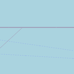
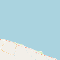
Distance Map Between Sirte and Tagiura
Sirte, Libya ↔ Tagiura, Tripoli, Libya = 222 miles = 357 km.


How far is it between Sirte and Tagiura
Sirte is located in Libya with (31.2089,16.5887) coordinates and Tagiura is located in Libya with (32.8817,13.3506) coordinates. The calculated flying distance from Sirte to Tagiura is equal to 222 miles which is equal to 357 km.
If you want to go by car, the driving distance between Sirte and Tagiura is 431.31 km. If you ride your car with an average speed of 112 kilometers/hour (70 miles/h), travel time will be 03 hours 51 minutes. Please check the avg. speed travel time table on the right for various options.
Difference between fly and go by a car is 74 km.
| City/Place | Latitude and Longitude | GPS Coordinates |
|---|---|---|
| Sirte | 31.2089, 16.5887 | 31° 12´ 32.1120'' N 16° 35´ 19.1760'' E |
| Tagiura | 32.8817, 13.3506 | 32° 52´ 54.0120'' N 13° 21´ 2.0160'' E |
Estimated Travel Time Between Sirte and Tagiura
| Average Speed | Travel Time |
|---|---|
| 30 mph (48 km/h) | 08 hours 59 minutes |
| 40 mph (64 km/h) | 06 hours 44 minutes |
| 50 mph (80 km/h) | 05 hours 23 minutes |
| 60 mph (97 km/h) | 04 hours 26 minutes |
| 70 mph (112 km/h) | 03 hours 51 minutes |
| 75 mph (120 km/h) | 03 hours 35 minutes |
Related Distances from Sirte
| Cities | Distance |
|---|---|
| Sirte to Tripoli | 448 km |
| Sirte to Benghazi | 570 km |
| Sirte to Ajdabiya | 412 km |
| Sirte to Tobruk | 812 km |
| Sirte to Darnah | 856 km |
Related Distances to Tagiura
| Cities | Distance |
|---|---|
| Al Khums to Tagiura | 100 km |
| Hun to Tagiura | 600 km |
| Sirte to Tagiura | 431 km |
| Awbari to Tagiura | 980 km |
| Ghat to Tagiura | 1350 km |