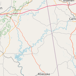
Distance from Smyrna to Griffin
Distance between Smyrna and Griffin is 75 kilometers (46 miles).
Driving distance from Smyrna to Griffin is 98 kilometers (61 miles).
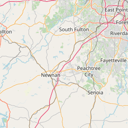
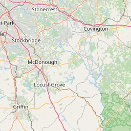
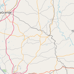
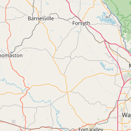
Distance Map Between Smyrna and Griffin
Smyrna, Atlanta, United States ↔ Griffin, Atlanta, United States = 46 miles = 75 km.


How far is it between Smyrna and Griffin
Smyrna is located in United States with (33.884,-84.5144) coordinates and Griffin is located in United States with (33.2468,-84.2641) coordinates. The calculated flying distance from Smyrna to Griffin is equal to 46 miles which is equal to 75 km.
If you want to go by car, the driving distance between Smyrna and Griffin is 98.06 km. If you ride your car with an average speed of 112 kilometers/hour (70 miles/h), travel time will be 00 hours 52 minutes. Please check the avg. speed travel time table on the right for various options.
Difference between fly and go by a car is 23 km.
| City/Place | Latitude and Longitude | GPS Coordinates |
|---|---|---|
| Smyrna | 33.884, -84.5144 | 33° 53´ 2.3640'' N 84° 30´ 51.7680'' W |
| Griffin | 33.2468, -84.2641 | 33° 14´ 48.4080'' N 84° 15´ 50.7240'' W |
Estimated Travel Time Between Smyrna and Griffin
| Average Speed | Travel Time |
|---|---|
| 30 mph (48 km/h) | 02 hours 02 minutes |
| 40 mph (64 km/h) | 01 hours 31 minutes |
| 50 mph (80 km/h) | 01 hours 13 minutes |
| 60 mph (97 km/h) | 01 hours 00 minutes |
| 70 mph (112 km/h) | 00 hours 52 minutes |
| 75 mph (120 km/h) | 00 hours 49 minutes |
Related Distances from Smyrna
| Cities | Distance |
|---|---|
| Smyrna to Sandy Springs | 18 km |
| Smyrna to Riverdale | 44 km |
| Smyrna to Athens 2 | 121 km |
| Smyrna to Canton 3 | 50 km |
| Smyrna to Dunwoody | 24 km |
Related Distances to Griffin
| Cities | Distance |
|---|---|
| Macon to Griffin | 85 km |
| Mcdonough to Griffin | 28 km |
| Peachtree City to Griffin | 40 km |
| Riverdale to Griffin | 43 km |
| Sandy Springs to Griffin | 96 km |